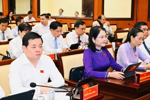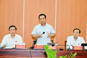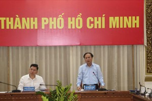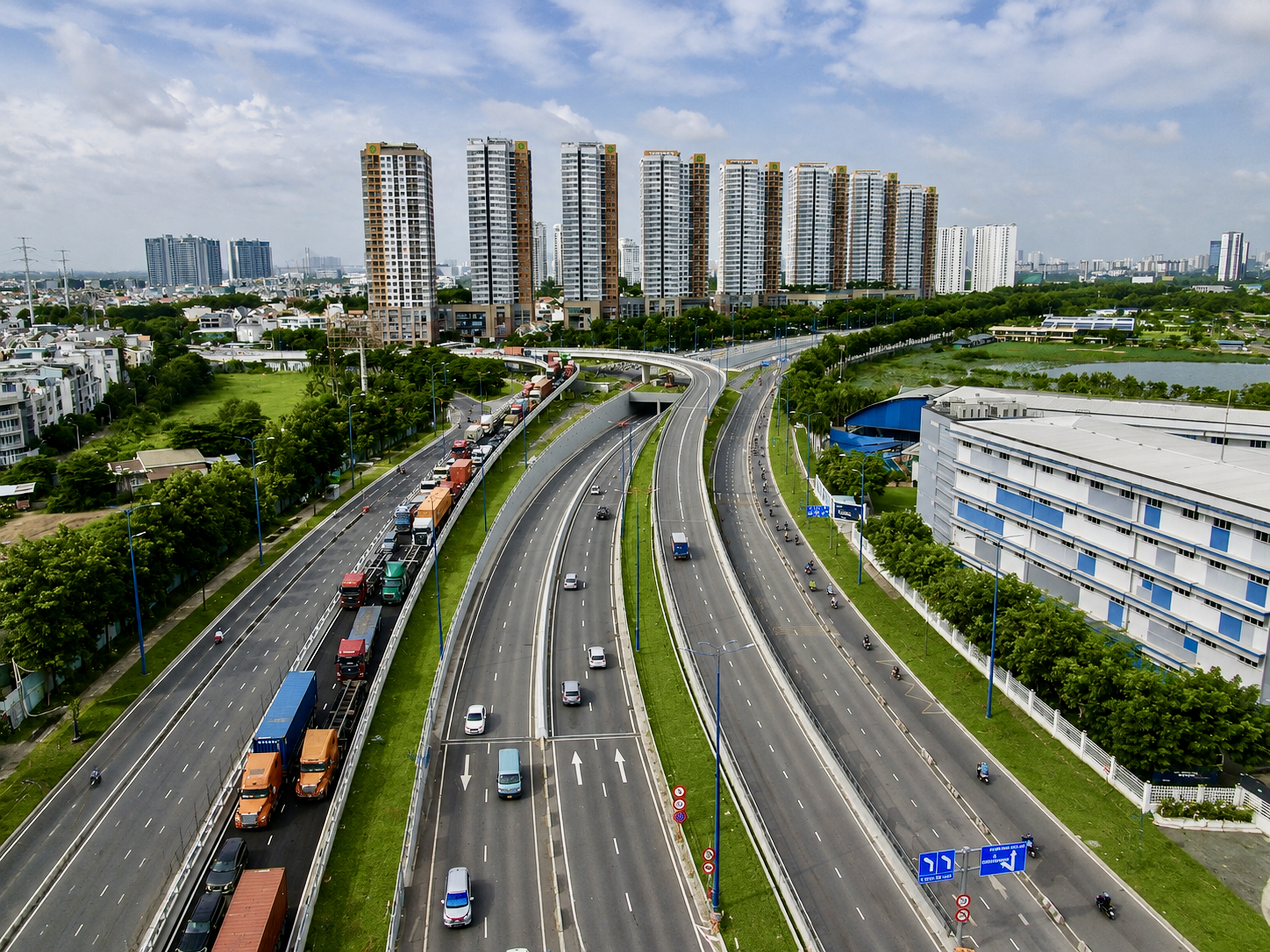
The Ho Chi Minh City People's Council on October 30 approved the city's master plan for 2025-2050, with a 100-year vision, establishing 10 development governance zones as the foundation for spatial organization, infrastructure connectivity, and long-term resource allocation.
The city's spatial structure consists of five growth poles, five connectivity systems, five satellite centers, and 10 development governance zones. Each zone has a distinct function aligned with urban development, production, services, and ecological protection goals.
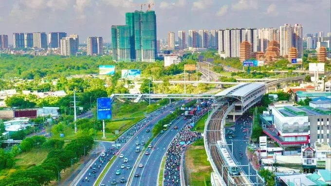
1. Urban-financial-governance-heritage core zone
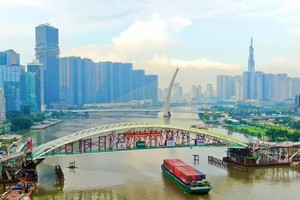
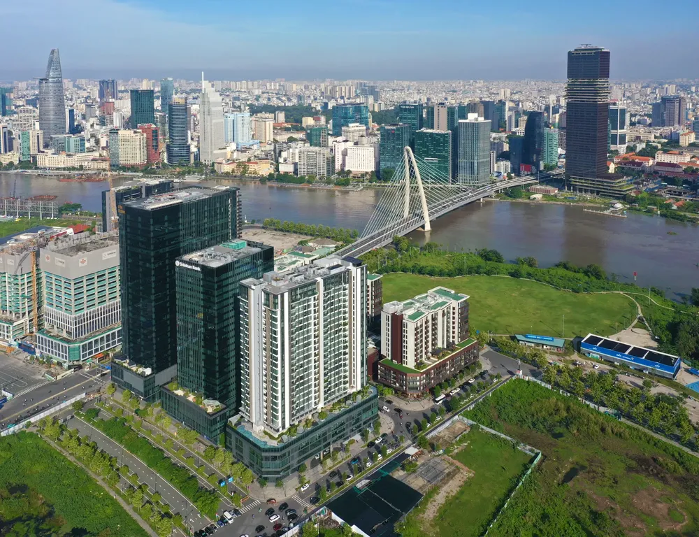
Centered on Saigon, Cho Lon, Thu Thiem, and both banks of the Saigon River, this zone serves as the city's political, administrative, financial, commercial, high-end service, cultural, historical, educational, healthcare, and international relations hub.
2. Eastern innovation zone
This northeastern growth zone serves as a center for science and technology, education and training, innovation, high-tech industry, and the digital economy. It also acts as a gateway linking the city with Long Thanh and the Southeast region.
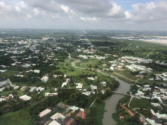
3. Western-Southwestern zone, gateway to the Mekong Delta
The zone serves as a strategic gateway linking the city with the Mekong Delta and is earmarked for logistics, trade, clean industry, biomedical development, education and training, services, and eco-urban development.
4. Binh Duong industrial-service urban zone
Serving as the city's modern manufacturing base and northern regional gateway, this zone focuses on high-tech industry, green industry, logistics, technical services, smart urban development, and workforce training.
Its spatial structure follows an integrated industry-urban-service model, including dynamic urban corridors in the south, industrial-logistics-service corridors in the central area, and agricultural and ecological zones in the north and northeast.
5. Ecological and development reserve zone
This zone plays a key role in maintaining ecological balance, protecting water resources, forests, and biodiversity, while supporting high-tech agriculture and preserving long-term land reserves.
Development plans call for strict control of urbanization, limiting dispersed urban expansion and the conversion of valuable agricultural land, forests, water surfaces, and water retention areas.
6. Southern zone: Nha Be-Hiep Phuoc
This urban-port-logistics zone serves southern Ho Chi Minh City, connecting the central area with Can Gio, Dong Nai Province, and the seaport system.
Development priorities include water-based eco-urban areas, high technology, the knowledge economy, logistics, clean industry, and port-support services.
7. Can Gio marine ecological zone
This distinctive marine ecological area serves as the city's seaward gateway and marine economy center, associated with mangrove forests, ecotourism, resort tourism, ports, logistics, fishing support services, and marine research.
Priority will be given to protecting and promoting the value of the Can Gio Biosphere Reserve and its mangrove, river, and marine ecosystems. All development activities must be compatible with ecological carrying capacity.
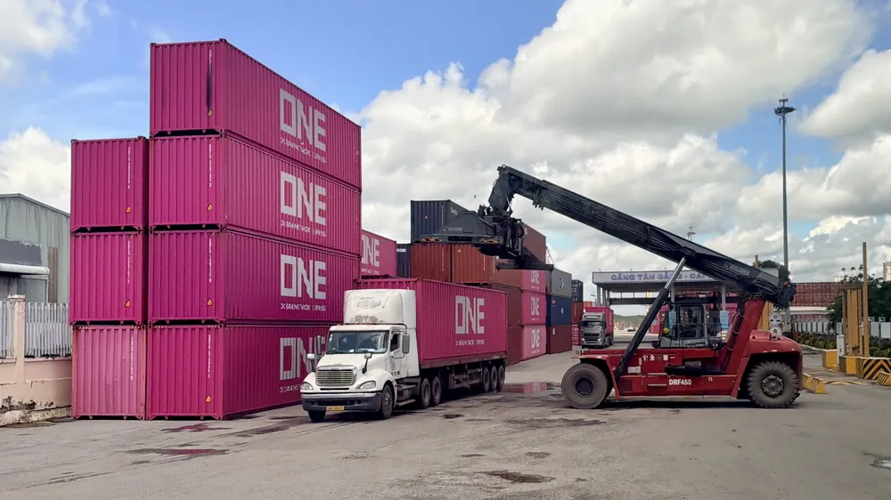
8. Seaport-logistics-industry-energy zone
This zone is designated as a key economic growth engine in the southeast and an international trade gateway. It serves as the central link connecting the city's production, logistics, and seaport chains with the Southeast region, the Central Highlands, and global economic networks.
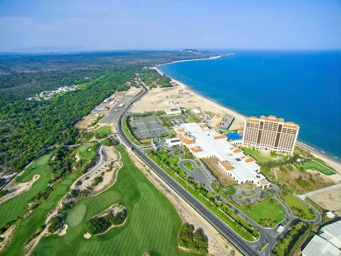
9. Vung Tau-Long Hai-Ho Tram coastal tourism zone
This key coastal urban-tourism-service and ecological zone serves as a maritime tourism gateway and a center for resorts, entertainment, healthcare services, and the marine economy.
The area is organized around a central coastal urban hub, tourism growth poles, coastal corridors, and ecological hinterlands. Vung Tau is positioned as a comprehensive marine services center; Long Hai-Phuoc Hai will focus on urban development, tourism, and cultural-ecological activities; while Ho Tram-Binh Chau is planned as a high-quality resort, entertainment, wellness, and ecotourism destination.
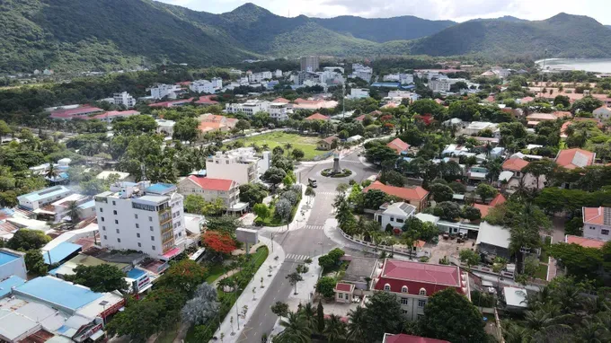
10. Con Dao Special Zone
This distinctive island and marine zone combines ecological conservation, heritage preservation, tourism, national defense, and security functions. It is envisioned as a national and international destination for cultural, historical, and marine ecotourism.
Con Dao will be developed as a smart, green, and carefully managed island based on ecological carrying capacity and infrastructure capability. Priority will be given to preserving Con Dao National Park, forest ecosystems, wetlands, marine environments, and historical-cultural sites.