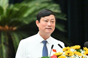
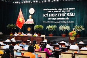
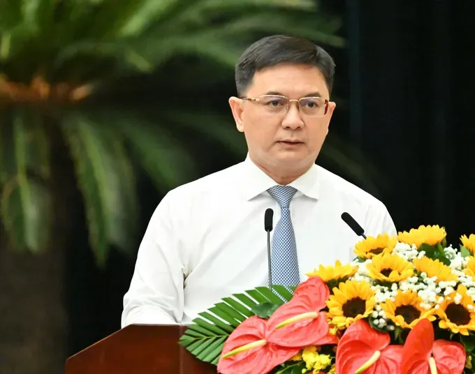
On October 29, at the sixth session of the 11th term of the Ho Chi Minh City People’s Council, Vice Chairman of the Ho Chi Minh City People’s Committee, Nguyen Manh Cuong, presented a proposal for approval of the city’s master plan for the 2025-2050 period, with a 100-year vision.
Restructuring the city’s development space
According to the proposal, the planning area covers the entire administrative territory of Ho Chi Minh City, spanning approximately 6,772.59 square kilometers and comprising 168 commune-level administrative units, including Con Dao Special Zone.
Ho Chi Minh City aims to become a modern, smart, dynamic, and innovative global city, with people at the center of development—as its key stakeholders, ultimate goal and driving force. The city will continue to strengthen its role as a major national growth engine and a leading regional hub for the economy, finance, science and technology, and innovation.
The master plan projects the city’s population will reach approximately 18 million by 2030, 25 million by 2045, and 27 million by 2050. These figures include permanent residents, temporary residents staying for more than six months, and population equivalents.
Economically, the city targets average annual gross regional domestic product (GRDP) growth of at least 10 percent through 2030, with GRDP reaching approximately US$200 billion to US$225 billion. The digital economy is projected to account for 40 percent of GRDP by 2030 and 60 percent by 2035. With a 100-year vision, Ho Chi Minh City aims to rank alongside the world’s leading cities.
The master plan calls for a shift from an amalgamated structure following the merger toward a unified, closely connected urban network, with areas specializing according to their distinctive strengths. The proposed spatial structure comprises five growth poles, five satellite centers, five strategic connectivity systems, and 10 development management zones.
Five growth poles comprise the core of the international financial services hub: an eastern innovation hub; a northern hub for industry, high technology, and logistics; a southern hub for seaports, free trade, international logistics, and energy; and a western hub for urban development, education, and healthcare.
Five satellite centers are Con Dao; Long Hai–Ho Tram; Hoc Mon–Cu Chi; Bau Bang; and Tan Uyen–Bac Tan Uyen. These centers will complement the growth poles, help distribute population, jobs, services, and infrastructure more evenly, and ease pressure on the urban core.
Five strategic connectivity systems
North–South connectivity: Linking border gates to maritime areas and connecting the continental economy with the ocean economy.
East–West connectivity: Connecting the Mekong Delta with the Southeast region.
Multimodal industrial, manufacturing, and logistics connectivity: Optimizing supply chains.
Multilayered urban infrastructure: Providing the backbone for urban development and population redistribution.
Green–blue connectivity: Using the Saigon and Dong Nai rivers as central axes to establish an ecological framework and ensure sustainable development.
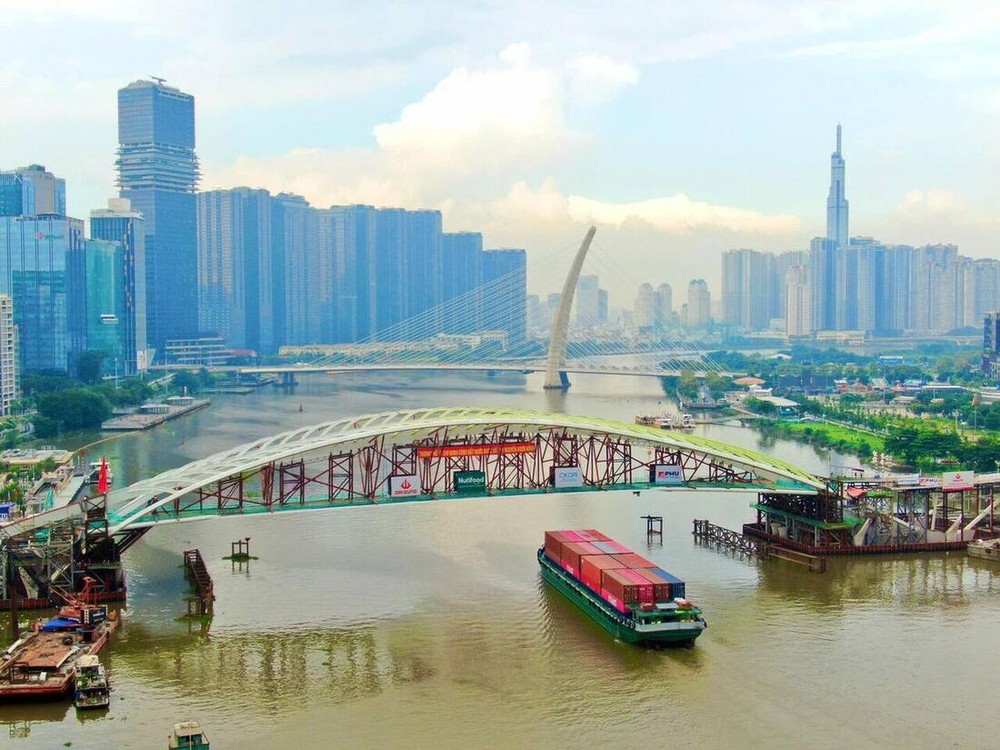
For the 10 development management zones, the master plan proposes technical and social infrastructure targets based on each zone’s primary function, land conditions, infrastructure, environment, local identity, and development control requirements. These targets will provide a basis for managing and implementing the plan in line with the specific characteristics of each area.
This structure will establish a unified, multi-polar spatial system to improve quality of life, strengthen the city’s resilience to climate change, and enhance its regional competitiveness. It will also serve as a basis for resource allocation, investment prioritization, and sustainable territorial development management.
Developing urban areas around public transport
The master plan identifies urban rail, mass public transit, and transit-oriented development (TOD) as key components of the city’s future urban structure.
Ho Chi Minh City aims to shift from urban sprawl dependent on private vehicles toward a compact, multi-polar, multi-center urban model. Areas around railway stations and transport hubs will be prioritized for mixed-use development combining housing, retail, services, and public spaces. Essential amenities are proposed to be located within a 10- to 15-minute walk, while convenient connections between different areas will be improved.
Metro Lines 1 and 2, Ring Roads 3 and 4, and other strategic transport routes will provide the foundation for a TOD network linking the city center with emerging growth poles.
The city also plans to integrate underground spaces with public transport, connecting stations, parking facilities, shopping centers, pedestrian areas, and technical infrastructure. This approach aims to ease pressure on surface land use, improve connectivity, and expand space for urban activities.
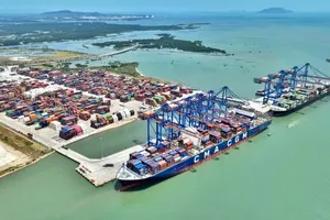
For the maritime economy, the master plan focuses on a connected chain encompassing Can Gio, Ganh Rai Bay, Cai Mep–Thi Vai, Long Son, Vung Tau, Long Hai, Ho Tram, and Con Dao.
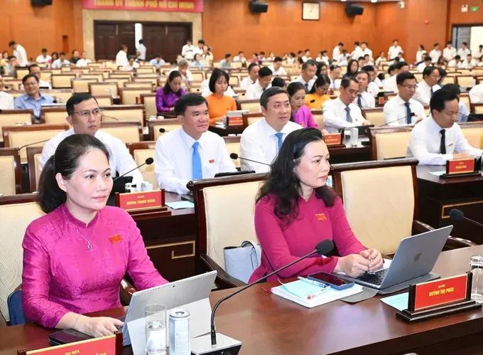
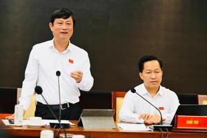
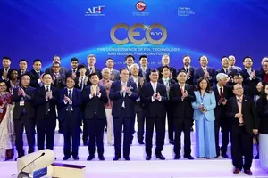
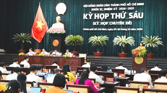
Delegates attend the meeting. (Photo: SGGP)
The Cai Mep–Thi Vai port complex and the Can Gio international transshipment port are envisioned as complementary, interconnected facilities linked to logistics hubs, industrial parks, and the regional transport network. Maritime economic development will go hand in hand with ecosystem conservation, including the protection of Can Gio’s mangrove forests, river corridors, and areas of exceptional natural value.
The plan also calls for improvements in housing, healthcare, education, water supply and drainage, flood prevention, and environmental infrastructure. The city will prioritize affordable housing and the development of social housing, housing for industrial workers and homes for low-income residents, with a target of building 200,000 social housing units by 2030.
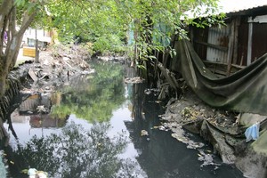
In parallel, the city will focus on urban upgrading and redevelopment, including the renovation of aging apartment buildings and areas along canals, ensuring that residents benefit from the outcomes of development.
To achieve these goals, the master plan calls for the establishment of a stronger institutional framework for development, greater delegation and decentralization of authority, and the implementation of special mechanisms under the Urban Development Law. It also seeks to diversify funding sources through public-private partnerships, urban finance, and more effective capture of land value.