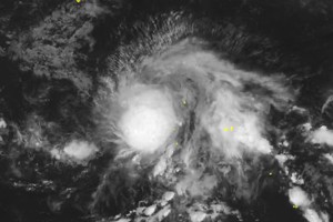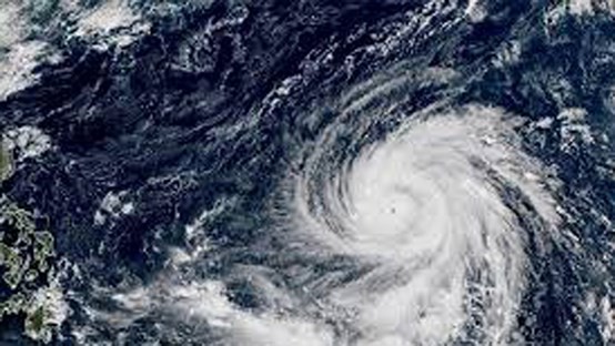
According to Japanese Meteorological Agency (JMA), the storm developed from a tropical low pressure system has been moving west.
Meteorological centers in Asia-Pacific forecast that the typhoon will go straight to the northern part of the Philippines in the next couple of days.
At noon yesterday, the storm’s fury measured at level 15-16, moving 167-201 kilometers an hour with gust hitting level 18-19, equivalent to super typhoon Mangkhut hit the East Sea early September.
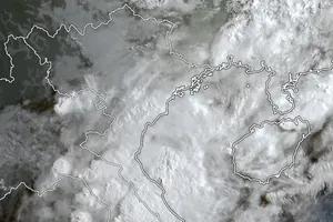
It is predicted to be gradually slanted towards the west. A cold front is possibly to push the storm into the East Sea.


