According to the Department of Dike Management and Disaster Prevention under the Ministry of Agriculture and Environment, a mass of cold air will begin impacting the northeastern region on the night of April 22, before spreading to parts of the Northwest and North-Central areas.
The National Center for Hydro-Meteorological Forecasting reported that the cold air mass is moving southward and will gradually expand its influence.
")
From April 23, the northeast and Thanh Hoa will turn cooler, with minimum temperatures ranging from 21–24 degrees Celsius, and below 20 degrees Celsius in mountainous areas. In Hanoi, scattered showers and thunderstorms are expected from the night of April 22 to April 23, followed by cooler conditions with lows of 22–24 degrees Celsius.
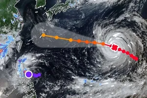
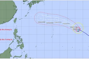
Meteorological agencies warn of showers and thunderstorms across the North from the evening of April 22 to April 23, with localized heavy rain. Similar conditions will extend to the North-Central and Central regions in the following days.
Thunderstorms may bring risks of lightning, hail and strong gusts. At sea, the northern Gulf of Tonkin is expected to see strong northeast winds reaching level 5–6, with gusts up to level 7 and waves of 1.5–2.5 meters.
Before the arrival of the cold air, temperatures in the Northern and Central regions remain high. On April 22, the Central region is forecast to experience peak heat, with temperatures of 36–38 degrees Celsius, and over 38 degrees Celsius in some areas. The northwest and regions from Da Nang to Dak Lak may see highs of 35–37 degrees Celsius.
The cold spell will begin affecting northern border areas from the night of April 22 but will be more clearly felt in Hanoi, the Red River Delta and the North-Central region from April 23, as temperatures drop and the heat subsides.
Meanwhile, the Central Highlands and Southern regions are expected to continue experiencing localized heat over the next few days, with temperatures exceeding 35 degrees Celsius in some areas and scattered evening thunderstorms.