The National Hydro Meteorological Forecasting Center announced that the tropical low pressure system now located in the East Sea may soon develop into a storm and make landfall along the south central and southern coastline by 7pm of November 6.
")
By 7am of Wednesday, the tropical low pressure system was located at 11.6 degrees latitude north and 111.8 degrees longitude east, about 290 kilometers east of the coastline from Khanh Hoa to Ba Ria-Vung Tau Provinces with strong wind speeds of level 7-9.
Within the next 12 hours, the tropical low pressure system will move westwards at 25-30 kph and possibly develop into a storm. By 7pm the new storm will center at 11.4 degrees latitude north and 108.7 degrees longitude east on the mainland of south central and southern regions, packing strong winds with gusts upto level 9-10.
In next 12 to 24 hours, it may change direction, moving west-southwest at 25-30 kph, entering deep into the mainland of south central and southern provinces before weakening into a tropical low pressure system. By 7am on Thursday, the tropical low pressure system will be at 10.9 degrees latitude north and 105.4 degrees longitude east, on the borders of Vietnam and Cambodia with maximum wind speeds of level 6-8.
In next 24 to 48 hours, the tropical low pressure system will continue to move west-southwestwards at speed of 20-25 kph towards Thailand Bay. By 7am on Friday, it will be centered at 10.2 degrees latitude north and 100.0 degrees longitude east, on the western waters of Thailand Bay with maximum wind speeds of level 6-8.
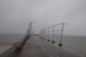
Due to the tropical low pressure system, waters off coastal provinces from Phu Yen to Ba Ria-Vung Tau Provinces, including Phu Quy Island, will face strong winds with gusts upto level 9-10 and see rough sea, while southern provinces will experience strong winds of level 6-7.
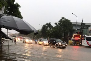
Tonight, waters off Ca Mau and Kien Giang Provinces and Thailand Bay will see strong winds of level 6-8. South central coast, southern highland, and southern provinces will have heavy rainfall. Coastal regions from Khanh Hoa to Binh Thuan Provinces should remain alert of water levels rising due to flood tide upto 2.5-4 meters.
The center also announced that Storm Haiyan was centered at 7.3 degrees latitude north and 139.7 degrees longitude east with maximum wind speed of level 16 by 7am on Wednesday. Storm Haiyan will move west-northwestwards at 25 kph and further strengthen. It is expected to enter the East Sea by Friday night.
At an urgent meeting last night, Deputy Prime Minister Hoang Trung Hai ordered local authorities and coastguards to coordinate with the Ministry of Agriculture and Rural Development to inform fishermen on the developments and direction of the storm for them to move out of danger zones. He also entrusted the Ministry of Public Security with the power to seal off roads to prevent coaches from travelling when the storm makes landfall.
Le Hoang Quan, Chairman of the People’s Committee of Ho Chi Minh City, said that the City will consider evacuation of residents from Thanh An Island in Can Gio District to safer shelters. The City also ordered Can Gio District to prevent boats from heading out to open sea from 7pm of Tuesday until further notice, and coastguards to intensify patrol at river mouths to ensure that local fishermen obey orders.
The People’s Committee of Can Gio District announced that about 2,000 residents in Thanh An Island will be transferred onto the mainland from Wednesday morning.