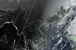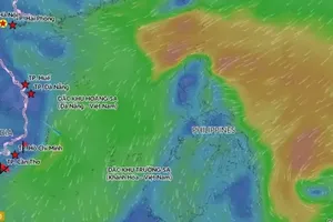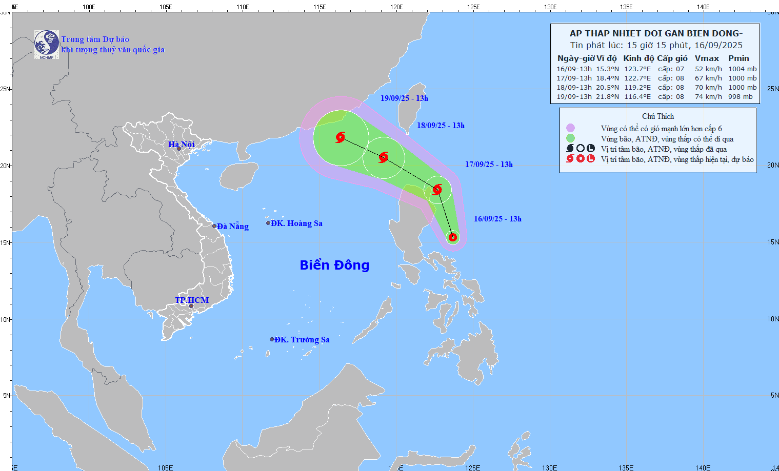
According to the NCHMF, on the afternoon of September 16, a low-pressure system designated 99W over waters east of Luzon Island (the Philippines) strengthened into a tropical depression. At 1 p.m., its center was located near latitude 15.3 degrees North and longitude 123.7 degrees East, east of Luzon. The strongest winds near the center reached Force 6–7 (39–61 km/h), with gusts up to Force 9. The system was moving northwest at about 15 km/h.
Forecasters predict that within the next 24 hours, the tropical depression is likely to strengthen into a storm as it approaches the Northeastern waters of Luzon. By 1 p.m. on September 17, the storm’s center may be near latitude 18.4 degrees North and longitude 122.7 degrees East, with sustained winds at Force 8 and gusts at Force 10. By 1 p.m. on September 18, the storm is expected to move west-northwest at 15–20 km/h, entering the East Sea while maintaining Force 8 strength with gusts up to Force 10.
Over the following 48 to 72 hours, the storm will likely continue moving west-northwest at roughly 15 km/h, with little change in intensity. In the northeastern part of the northern East Sea, winds will gradually strengthen to Force 6 with gusts to Force 8; near the storm’s center, winds may reach Force 7–8 with gusts up to Force 10. Wave heights are forecast at 2.5–4.5 meters. Ships operating in the area are advised to remain alert to thunderstorms, squalls, strong winds, and rough seas.
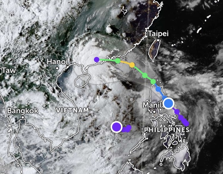
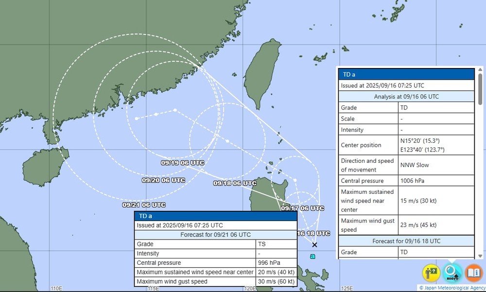
At present, the projected track issued by Vietnam’s NCHMF aligns with forecasts from the Japan Meteorological Agency, as well as models from the United States and Europe.


