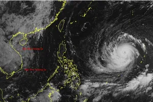
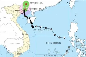
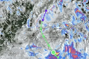
On the early morning of September 6, the eye of the tropical depression was located at approximately 17.4 degrees North latitude and 118.3 degrees East longitude, in the eastern waters of the northern East Sea.
The system is currently classified as a tropical depression with winds of 39–49 kilometers per hour (force 6), gusting up to force 8 (62-74 kilometers per hour), moving in a northwestward direction at roughly 10 kilometers per hour.
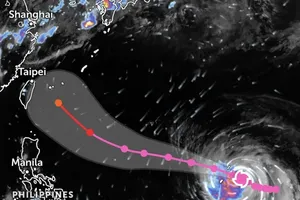
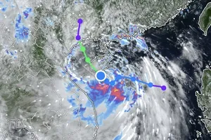
Forecasts indicate that over the next 24 hours, the tropical depression will continue on a northwestward path, with the potential to strengthen into a storm when it is about 500 kilometers east-northeast of the Paracel Islands.

At that time, winds are expected to reach force 8, gusting to force 10 (89-102 kilometers per hour). The hazardous area over the East Sea is defined approximately between 16–20 degrees North latitude and 114.5–120 degrees East longitude.
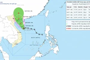
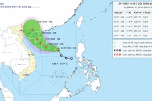
Meteorologists predict that from the morning of September 8, the storm will maintain northwestward, accelerating to about 15 kilometers per hour. Its center will be located in the northern waters of the East Sea, with winds of force 9 (75-88 kilometers per hour), gusting to force 11 (103-117 kilometers per hour).
Over the following 48–72 hours, the storm is expected to move west-northwest, continuing at roughly 15 kilometers per hour.
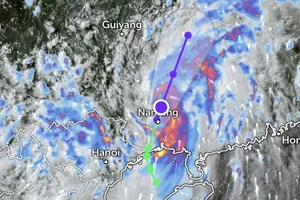
According to the forecast model of the National Center for Hydro-Meteorological Forecasting, the storm’s center may approach Guangdong Province and Leizhou Peninsula in China. Nonetheless, dangerous weather conditions are expected over the northern East Sea.
At sea, the northeastern waters of the East Sea are experiencing strong winds of force 6, increasing to force 7–8, gusting to force 10, with waves reaching 2–4 meters and rough sea.
Vessels operating within the hazardous zone face potential impacts from thunderstorms, whirlwinds and high waves.