The discharge rate through the power-generating turbines was 750–820 cubic meters per second, resulting in a total outflow downstream of 910–980 cubic meters per second.
Tri An Hydropower Company reported that at 8 a.m. on September 29, the upstream water level at Tri An Hydropower Reservoir was over 60.5 meters, while the downstream level at the plant was 3.7 meters. The inflow into the reservoir exceeded 1,500 cubic meters per second.
")
With downstream water levels at Bien Hoa Hydrological Station being low, the company opened the spillway to regulate the reservoir and maintain flood control capacity.
Specifically, Tri An Hydropower Plant released water through the spillway at a rate of 160 cubic meters per second, while the turbine discharge ranged from 750 to 820 cubic meters per second, bringing the total downstream outflow to 910 to 980 cubic meters per second, beginning at 1 p.m. on September 30.
By 4 p.m., the spillway discharge increased to 320 cubic meters per second; turbine discharge remained 750–820 cubic meters per second; and the total outflow downstream rose to 1,070–1,140 cubic meters per second.
Depending on weather developments, water levels in Tri An Hydropower Reservoir and downstream water levels at Bien Hoa Hydrological Station, the company may adjust spillway discharge.
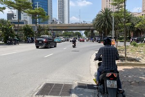
The company has notified the Civil Defense Committees at all levels, local authorities and relevant agencies to warn downstream residents and help them take preventive measures against possible damage.
On September 30, the Southern Regional Hydro-Meteorological Station also issued a 10-day weather forecast for Ho Chi Minh City and surrounding areas.
The forecast indicates that around October 3 to October 4, an intertropical convergence zone is expected to re-form, with its axis running across South-Central Vietnam and the central part of the East Sea.
")
The southwest monsoon will remain weak to moderate but is expected to strengthen from October 5; and at higher altitudes, the subtropical high-pressure ridge’s southern extension will maintain its northward shift. Therefore, precautions should be taken against thunderstorms accompanied by hazardous weather phenomena such as whirlwinds, lightning, and strong gusts.