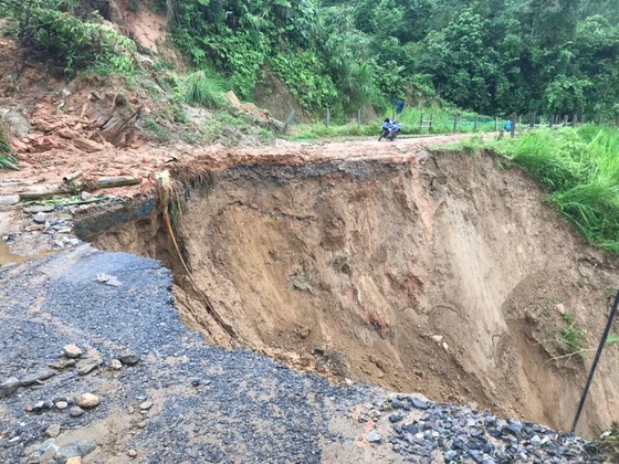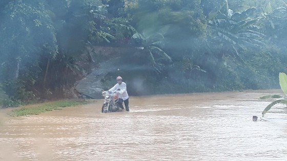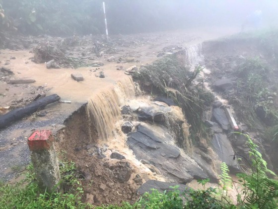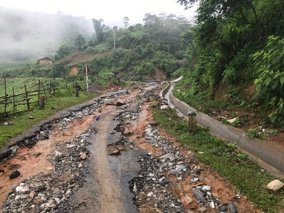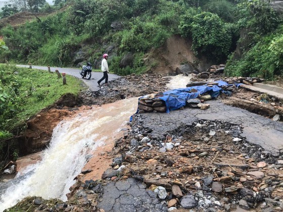
According to a brief report of the Steering Committee of Natural Disasters Prevention and Search and Rescue of Bat Xat District, water levels on local rivers, streams rose rapidly; landslide and huge flood caused traffic congestion and separated traffic roads through communes of Coc My and Muong Vi due to long- lasting torrential downpour.
The National Hydrology Meteorology Forecast Center also reported that water level on upstream Thao River of the Red River basin in Lao Cai Province is sharply increasing while water levels on the Northern region’s other rivers and streams are slowly changing.
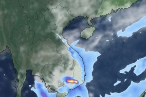
Due to an impact of 5,000-meter upper-air wind convergence, medium- heavy downpours and thunderstorms along with risk of flash flooding and landslide are warned in the Northern mountainous provinces of Lao Cai, Yen Bai, Lai Chau, Son La, Ha Giang, Tuyen Quang in the next several days.
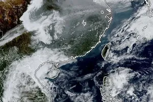
Relating to the current rain, flooding waves over the Southern region in China, Deputy Minister of Agriculture and Rural Development Nguyen Hoang Hiep affirmed that Vietnam would not be affected because flood water flows into the sea in Japan.
Some photos about landslide and flooding in the Northern moutainous area in recent days:
