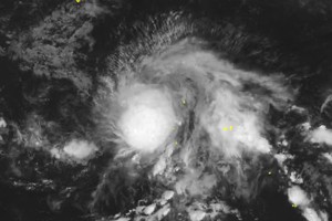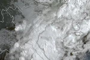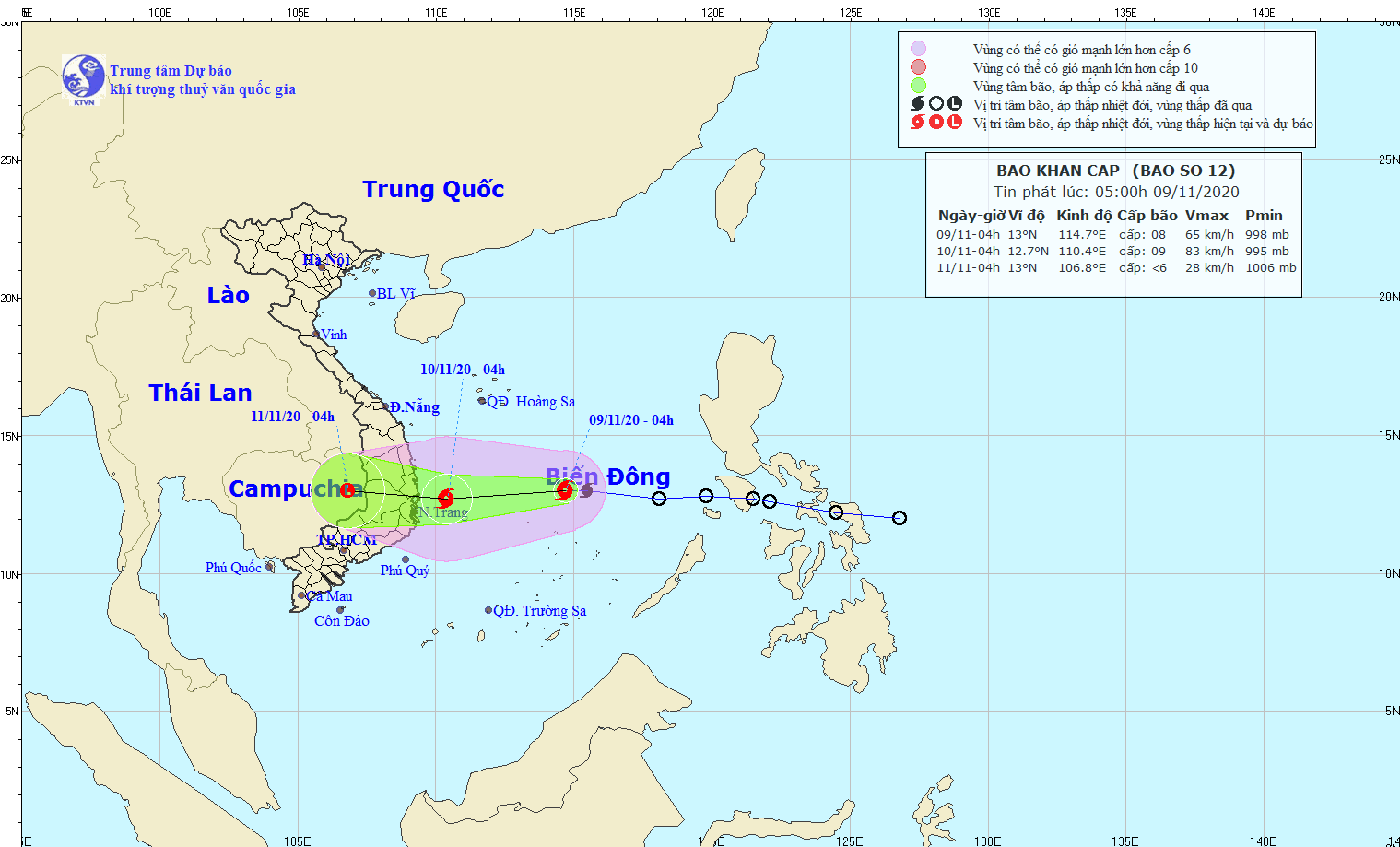
As of the early Monday morning, the eye of the newly-formed storm was centered at around 180 kilometers north of the Southwest Cay islet with a maximum wind of up to 75 kilometers an hour.
In the next 24- 48 hours, the storm is forecast to move west toward mainland provinces from Phu Yen to Ninh Thuan and then downgrade into a tropical depression and low-pressure zone respectively in the eastern part of Cambodia.
The circulation of storm Etau in combination with a cold air mass is expected to bring extreme rainfalls of 200 to 400 mm in provinces from Quang Tri to Khanh Hoa.


