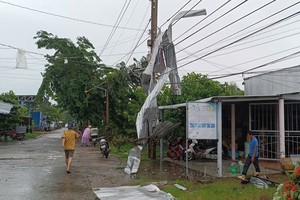
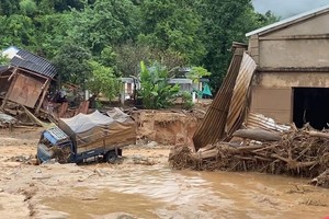
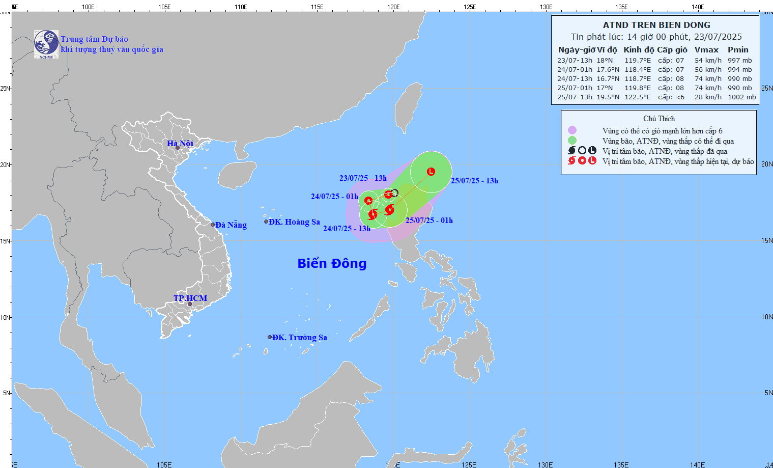
The tropical depression on the East Sea has intensified into a storm, causing more turbulence east of Hoang Sa (Paracel) Islands, according to the National Hydro Meteorological Forecasting Center.
")
At 7am on October 2, the storm was located 310 kilometers east of Hoang Sa Islands causing turbulent waters with wind gales of level 8 moving at 62-74 kilometers an hour.
Within the next 24 hours, the storm will move southeastwards at five kilometers an hour and may gain in strength.
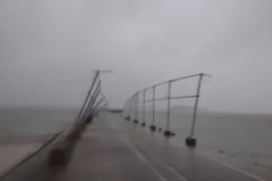
Strong southwesterly winds have been blowing across the coastline of the southern provinces from Ba Ria-Vung Tau to Ca Mau.
Central provinces have been issued warnings by the Steering Committee for Flood and Storm Prevention, and have accordingly alerted all fishing boats to take shelter.
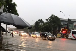
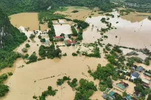
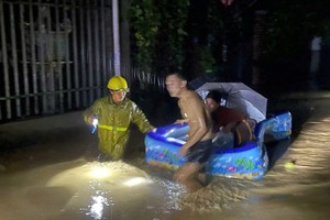
The storm has affected weather conditions in Ho Chi Minh City which has seen continuous heavy rainfall for the last few days. Rains will continue in the City for another two to three days.
On Monday, high tide and heavy rainfall caused flooding and massive traffic jams on several streets in HCMC.
According to the Southern Regional Hydro Meteorological Center, the high tide will reach its peak on Tuesday--about 1.53m at Phu An Station on Saigon River.
Meanwhile, the hydro meteorological stations in the Asian region on Monday warned of a new storm named Maliksi forming in the Pacific Ocean and rapidly moving west northwest and forecast heading closer to the East Sea within the next few days.
Related article:
Tropical depression set to intensify into storm