On August 26, the Northern region continues to experience thunderstorms as the axis of a low-pressure trough shifts northward, coinciding with the formation of a wind convergence zone over the Northern mountainous areas. These conditions favor the development of thunderstorm clouds, with the potential for localized heavy to very heavy rainfall in mountainous and midland areas.

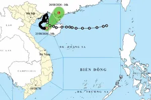
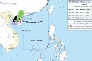
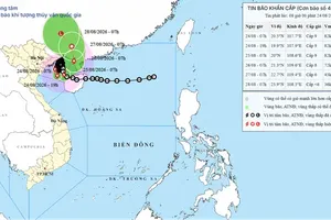
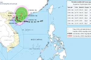
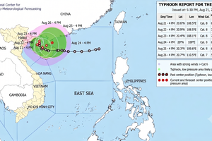
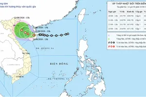
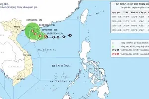
According to the National Center for Hydro-Meteorological Forecasting, early on August 26, the tropical depression, which was weakened from storm No. 4 (international name storm Narra), was located off the northern coast of Hainan Island of China. The system is moving northeast at a speed of 10–15 km per hour.
Vietnamese meteorological authorities forecast that from now until the morning of August 27, the tropical depression will continue moving northeast at about 15 km per hour, making landfall in the southeastern part of Guangxi Province of China and gradually weakening into a low-pressure area.
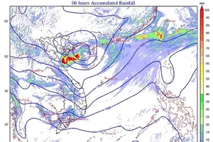
Meanwhile, a tropical convergence zone has formed, connecting to the tropical depression off the northern coast of Hainan Island. These atmospheric patterns continue to foster thunderstorm activity across the Northern region.
Throughout the day and night of August 26, thunderstorms in the Northern region including Hanoi are expected to occur primarily in the late afternoon, evening, and at night. Rainfall will be unevenly distributed while intense downpours may occur, particularly in the mountainous and midland areas of the North. In Hanoi, showers and thunderstorms are forecast for August 26, with a high of around 32 degrees Celsius; unsettled weather with showers and thunderstorms is expected to persist in the following days.
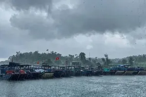
At sea, conditions remain complex. In the eastern part of the northern Gulf of Tonkin, strong winds at levels 6–7 with gusts up to level 9 are causing rough seas and waves 2 meters – 4 meters high; however, wind speeds in this area are expected to gradually decrease starting the night of August 26.
Meanwhile, in the East Sea and the waters from Gia Lai Province to Ho Chi Minh City, southwest winds are currently blowing at level 6 with gusts of levels 7–8, resulting in rough seas and waves 2 meters–4 meters high. Showers and thunderstorms continue across many other maritime areas, bringing the risk of tornadoes and strong wind gusts.
Meteorological agencies predict that the Northern region and Thanh Hoa Province may experience a return of heavy rainfall between the night of August 29 and August 31.