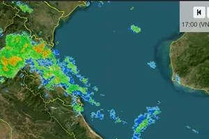
The National Center for Hydro-Meteorological Forecasting said that as of 11 a.m. on August 22, the center of typhoon Narra was located at around 21.2 degrees North latitude and 108 degrees East longitude, over the waters off Quang Ninh and Hai Phong, about 120 kilometers north of Bach Long Vi Special Zone.
The tropical storm had maximum sustained winds of Force 8 near its center, with gusts reaching Force 10. Over the next three hours, it was forecast to move little or slowly southwestward at around 5 kilometers per hour.
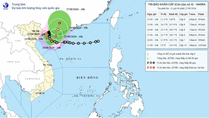
On the morning of August 22, the Regional Specialized Meteorological Center (RSMC) Tokyo – Typhoon Center under the Japan Meteorological Agency (JMA) officially recognized the storm as typhoon and assigned it the international name Narra.
RSMC Tokyo is a regional specialized meteorological center of the World Meteorological Organization responsible for monitoring and forecasting tropical cyclones over the Northwest Pacific and the East Sea.
The Philippines contributed the name Narra and refers to the narra tree, the country's national tree.
The typhoon is moving slowly and is expected to remain over the Gulf of Tonkin for several days, potentially causing prolonged heavy rain across northern Vietnam.
From August 22 through the night of August 24, the Northeastern region, southern Phu Tho Province and Thanh Hoa Province are forecast to receive 100-200mm of rain, with some areas exceeding 400mm.
Quang Ninh and Hai Phong are expected to receive 250-350mm, with isolated areas recording more than 600mm. Meanwhile, Lang Son and Bac Ninh are forecast to receive 200-300mm, with some locations exceeding 500mm.
After the night of August 24, widespread rain is still likely to persist across the Northern region and Thanh Hoa.
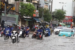
The National Center for Hydro-Meteorological Forecasting warned that Hanoi will be affected by the typhoon's western circulation. From August 22 through the night of August 24, Hanoi is expected to experience moderate to heavy rain, with rainfall of 100- 200 mm in most areas and more than 200mm in some locations. The heavy rain could cause localized flooding on some streets and in low-lying areas.
Areas on the outer fringe of typhoon No. 4, including Hanoi, may also experience thunderstorms, tornadoes and strong wind gusts.
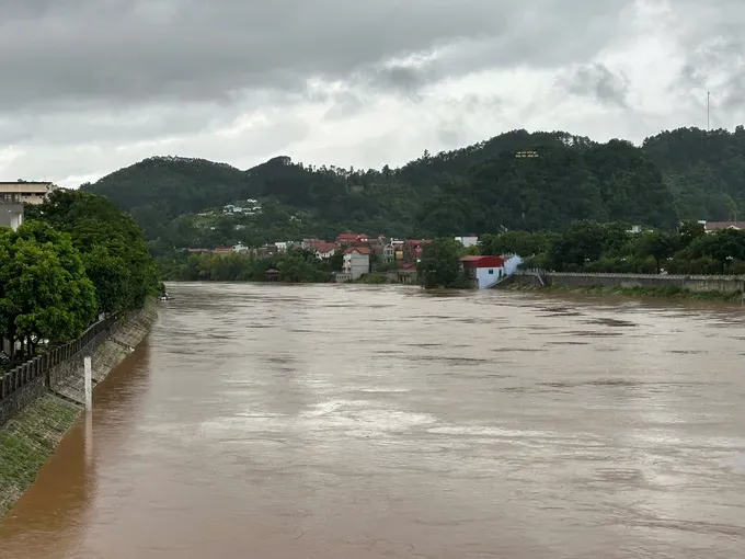
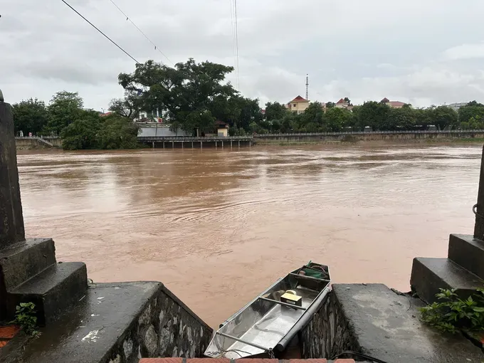
Due to the heavy rainfall, water levels in the upper reaches of the Thuong and Luc Nam rivers are expected to continue rising from August 22 to August 24. Flood levels in the upper reaches could reach Alert Level 2-3 and exceed Alert Level 3 in some locations, while downstream areas could reach Alert Level 1-2.
Authorities warned of a high risk of flash floods and landslides in mountainous and midland areas, as well as flooding in low-lying areas along rivers.









)