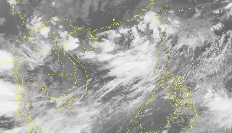
This dangerous zone is forecast to move west- northwestward towards the Philippines’ Luzon Island, and then it is able to turn into a tropical storm.
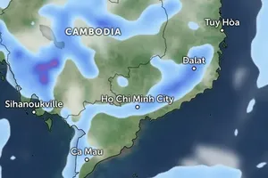
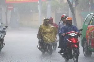
The National Hydrology Meteorology Forecast Center yesterday issued warnings of medium- heavy downpours, thunderstorm, cyclone, hail, lighting and sustained winds in the Central Highlands and Southern regions
Additionally, a high risk of small flooding will occur on riverbanks of the Central Highlands region.
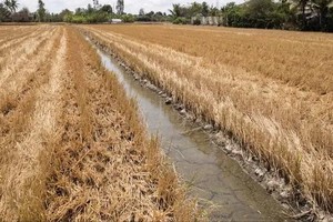
Water level in upstream Mekong River averaged at 3- 5 meters. The flow volume pouring from upstream Mekong River to the upstream Mekong River Delta is less than 40- 50 percent.
From August 28, a low pressure zone or a tropical depression will appear in the northeastern part of the East Sea.
The southwest monsoon is forecast to operate powerfully at this time.


)
