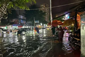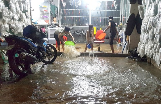
The water levels currently exceeds alert level 3 and is expected to cause damages of flower and vegetable crops, fruit gardens.
Previously, the National Hydrology Meteorology Forecast Center constantly issued the highest water levels exceeding warning level 3 at My Thuan Station’s Tien River and Can Tho Station’s Hau River respectively.
Ben Tre is the most affected locality in the recent high tides. Statistics showed that water level inundated a lot of fruit gardens, rural roads in Cho Lach, Mo Cay Bac, Chau Thanh, Giong Trom districts; caused collapse of several hundred meters long embankment and made landslides in some places.
According to the Steering Committee for Natural Disaster Prevention, Search and Rescue of Vinh Long province, 5-kilometer national route was isolated by the peak tides.
Additionally, 16.6- meter rural roads, 119 embankments with total length of 134 kilometers, 38 dykes, 218 houses, 10 markets and two fishing farm ponds were inundated.
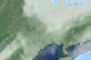
Accordingly, the upstream flood of Mekong Delta connecting with ongoing high tides and heavy downpours results in a sudden increase of water level.
Over the past years, the sea level has risen continuously, so not only Can Tho but also the Mekong Delta are affected by the phenomenon.
Amid the current situation, local authorities and people in Vinh Long, Ben Tre and Soc Trang have made their efforts in consolidating embankments and protecting fruit gardens.
The Department of Education and Training of Can Tho city continues allowing pupils absence from school one more day in order to absolutely ensure their safety.
