Particularly, the Southern region is forecast to see further showers and thunderstorms on June 16, with rainfall mainly occurring in the late afternoon and evening.
Rainfall across the region is expected to range from 10 mm to 30 mm, with isolated areas receiving more than 60 mm. Weather authorities have advised residents to remain alert for thunderstorms, lightning and localized flooding during periods of intense rainfall.
At the same time, hot weather is expected to persist across the Central region, particularly from Thanh Hoa to Da Nang and in eastern areas stretching from Quang Ngai to Dak Lak. Temperatures on June 16 and June 17 are forecast to reach 35-37 degrees Celsius, with some locations exceeding 38 degrees Celsius.
Meteorologists believe the current heatwave is likely to continue for several more days, maintaining challenging conditions for residents, agriculture and outdoor activities.
In the Northern region, widespread heavy rain has affected the midland and mountainous regions since last night due to a monsoon trough and low-level wind convergence extending to an altitude of 5,000 meters.
Forecasts indicate that rainfall will continue from June 16 through the night of June 17, with total precipitation ranging from 60 mm to 130 mm and isolated areas receiving more than 220 mm. Rainfall is expected to be concentrated during the evening and early morning hours, with the possibility of extremely intense downpours exceeding 100 mm within a three-hour period.
The provinces of Quang Ninh, Lang Son, Bac Ninh, Cao Bang, Tuyen Quang and Thai Nguyen are expected to record rainfall totals of 100-200 mm, with some locations exceeding 300 mm. Meanwhile, Lao Cai, Phu Tho, Son La, Dien Bien and Lai Chau could receive between 70 mm and 150 mm of rain, with isolated areas surpassing 250 mm.
The meteorological agency warned that heavy rainfall may trigger flooding in low-lying areas, urban centers and industrial zones. The risk of flash floods and landslides is also expected to increase significantly in mountainous regions.
Authorities identified Lang Son, Cao Bang, Tuyen Quang, Lai Chau and Dien Bien as provinces facing the highest risk of flash floods and landslides during this period. Residents in vulnerable areas have been urged to closely monitor weather updates and take precautionary measures to protect their lives and property.
Prolonged downpour causes flooding on several streets in Ho Chi Minh City
Prolonged downpour and strong winds swept across many parts of Ho Chi Minh City on the afternoon of June 15, causing localized flooding on several roads.
The downpour, which began around 5 p.m., inundated several streets, including Quoc Huong Street in An Khanh Ward, Dang Thuy Tram Street in Binh Loi Trung Ward, and Binh Quoi Street in Binh Quoi Ward. Flooded roads affected traffic and daily activities in several areas of the city.

According to the Southern Regional Hydro-Meteorological Center, the thunderstorms were caused by weak to moderate southwesterly winds combined with upper-level atmospheric convergence. Rainfall was recorded across a wide range of wards and communes, including Long Truong, Tan Thuan, Cho Quan, Hiep Phuoc, Tan Nhut and An Thoi Dong.
Rainfall totals generally ranged from 5 mm to 15 mm, with some locations receiving more than 20 mm. The thunderstorms were accompanied by whirlwinds, lightning and strong winds.

On the same day, the National Center for Hydro-Meteorological Forecasting released an assessment of natural disasters and weather conditions across the country for the remainder of 2026.
The report forecasts that average temperatures nationwide will be 0.5–1.5 degrees Celsius above the long-term average between July and September. From October to December, temperatures are expected to remain elevated, ranging from 1–2 degrees Celsius above normal levels.
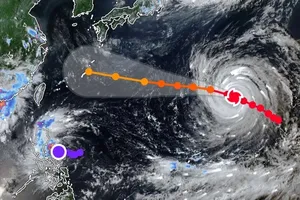
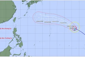
Regarding tropical cyclone activity, forecasters expect the number of storms in the East Sea and those directly affecting Vietnam from July to September to be close to the long-term average. However, from October to December, the number of storms and tropical depressions is projected to be lower than average.
Meteorologists continue to advise local authorities and residents to remain vigilant, as heavy rainfall, thunderstorms and other extreme weather events may still occur despite fluctuations in storm activity during the second half of the year.