The Office of the Steering Committee for Natural Disaster Prevention, Control and Search and Rescue of Hanoi reported that the Hanoi Hydrological Station in Long Bien District measured the water level on the Red River at 10.39 meters; meanwhile, the Son Tay Hydrological Station recorded the water level in Red River at 12.23 meters at 1 a.m. on September 13.
The figures fall below flood alert level 2 and level 1.
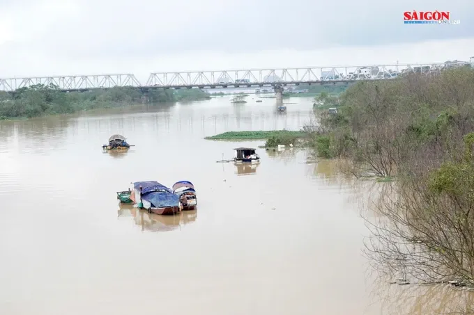
Based on the water levels, the Office of Hanoi Steering Committee for Natural Disaster Prevention and Control, Search and Rescue has lifted the flood alert level 2 on the Red River for the districts of Bac Tu Liem, Tay Ho, Ba Dinh, Hoan Kiem, Hai Ba Trung, Hoang Mai, Long Bien, Thanh Tri, Dong Anh and Gia Lam at 1 a.m. on Friday.
The agency has also discontinued flood alert level 1 on Red River on the same day for Son Tay Town and the districts of Ba Vi, Phuc Tho, Dan Phuong and Me Linh.
Meanwhile, the National Center for Hydrological and Meteorological Forecasting indicated that at 7 a.m. on the same day, the water level on the Red River at the Hanoi Hydrological Station in Long Bien District reached 10.02 meters, which was 48 centimeters below the flood alert level 2.
Floodwater levels are now on the decline on major rivers, including Thao, Chay, Lo, Thuong, Luc Nam, Thai Binh, Day, Red, Ca and Hoang Long rivers.
The meteorological agency forecasts that by 1 p.m. on the same day, the water level on the Red River at the Hanoi Hydrological Station may reach 9.9 meters, decreasing to 12 centimeters compared to the previous water level.


