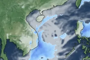
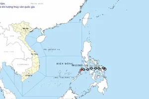
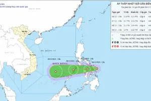
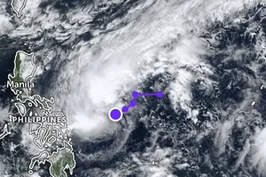
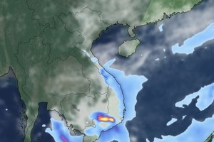
The typhoon named Talas which was located at 16.9 degrees north latitude and 111.4 degrees east longitude, at 240 kilometers of the south-eastwards yesterday. The strongest wind near the center gusted level 8- 10.
In next 24 hours, the storm is predicted to move the west- northwestwards at 15- 20 kilometers per hour.
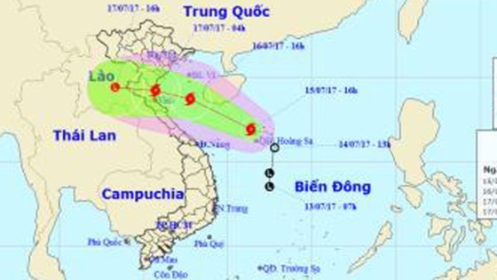 Typhoon 'Talas' is approaching the north- central provinces
By 4 pm today, its eye will be at 18.7 degrees north latitude and 107.8 degrees east longitude, at 230 kilometers of the coastal provinces from Nam Dinh to Ha Tinh with its powerful wind of level 9- 10.
Its dangerous zone within next 24 hours is paralleled at 16- 20 degrees north latitude and 113.0 degrees east longitude.
Because of its influence, the Gulf of Tonkin will see strong wind of level 6-10, big wave of 3- 5 meters and sea rough.
In next 24- 36 hours, typhoon ‘Talas’ is likely to move the west- northwestwards at 15- 20 kilometers an hour.
By 4pm tomorrow, around 19.2 degrees north latitude and 105.7 degrees east longitude of the coastal provinces from Nam Dinh to Ha Tinh will be able to hit by the storm. The strongest wind near the center will gust 60-75 kilometers an hour.
The storm is forecast to continue moving the west- northwestwards at 15- 20 kilometers, and approaching the mainland of the provinces from Thanh Hoa to Ha Tinh before it is forecast to be weakened into a low- pressure zone.
From the midnight of Sunday, the coastal provinces from Hai Phong to Ha Tinh will see powerful wind of level 6- 10. The northern and north- central provinces are warned to appear the heavy rains. The highest rainfall in Thanh Hoa and Nghe An will reach at 250- 350 mm, at 150- 250 mm in the Red River Delta and Ha Tinh province, at 100- 200 mm in Hoa Binh, Son La, Phu Tho, Yen Bai and Dien Bien, and at 50- 150 mm in the north and central provinces from Quang Binh to Thua Thien- Hue.
A flooding is predicted to appear in the upstream river of Red and Thai Binh River with its floodwater of 2- 3 meters, and 4-6 meters on the local rivers of Thanh Hoa, Nghe An and Ha Tinh.
The bad weather conditions of landslide, flashflood and flooding can sweep through the north and north- central provinces as Lai Chau, Dien Bien, Son La, Hoa Binh, Lao Cai, Yen Bai, Ha Giang, Tuyen Quang, Thai Nguyen, Bac Can, Cao Bang, Lang Son, Quang Ninh, Thanh Hoa, Nghe An and Ha Tinh.
By tonight, the area of the mid and south- East Sea including the Spratly Islands, the southern territorial waters from Ninh Thuan to Ca Mau will continue suffering the southwest monsoon of level 6- 8, big wave of 2-3 meters and sea rough.
The waters from Ca Mau to Kien Giang and Gulf of Thailand will experience unexpected small- heavy rains and thunderstorms.

