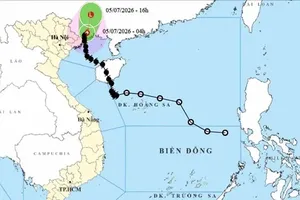
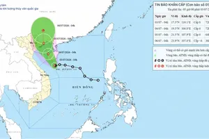
(Source: Provided by the National Center for Hydro-Meteorological Forecasting)")
According to the National Center for Hydro-Meteorological Forecasting, typhoon Bavi is currently active over the northwestern Pacific Ocean. The storm was named by Vietnam after Ba Vi Mountain in Hanoi. At present, there are few indications that the storm will have any impact on Vietnam's mainland.
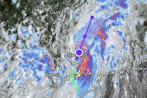
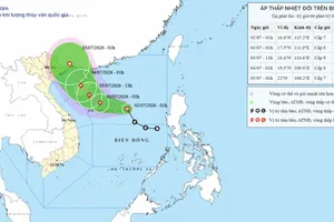
At 4:00 p.m. on July 5, the center of typhoon Bavi was located at approximately 13.6 degrees North latitude and 147.6 degrees East longitude. The storm had intensified to level 17 (202–221 km/h), with gusts exceeding level 17. Its center was about 2,500km east of the central Philippines.
According to the National Center for Hydro-Meteorological Forecasting, forecast models and international tropical cyclone forecasting centers indicate that typhoon Bavi is expected to move generally west-northwestward over the next few days before likely turning northwestward toward Taiwan (China).
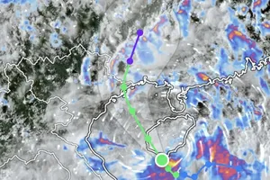
 on July 5. (Screenshot from the Z.E storm tracking and satellite imagery application)")
Vietnam's meteorological authority assesses that the likelihood of typhoon Bavi entering the East Sea is low, with a probability of less than 10 percent. Therefore, there are currently no indications that the storm will affect Vietnam's mainland.
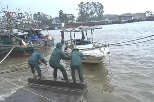
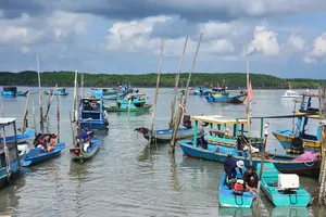
However, due to its extreme intensity, typhoon Bavi could still affect the northeastern waters of the North East Sea during the period from July 9 to 11. In addition, beginning July 9, the southwesterly monsoon over the central and southern East Sea, including the waters surrounding the Hoang Sa (Paracel) and Truong Sa (Spratly) islands, is expected to strengthen from levels 6 (39-49 km/h) to level 7 (50–61 km/h), generating waves 3–5m high and causing very rough seas.
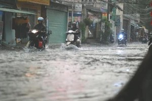
According to meteorological experts, the strengthening southwesterly monsoon is likely to increase both rainfall and rainfall intensity across the Southern region and the Central Highlands. The National Center for Hydro-Meteorological Forecasting is continuing to closely monitor the development of typhoon Bavi.