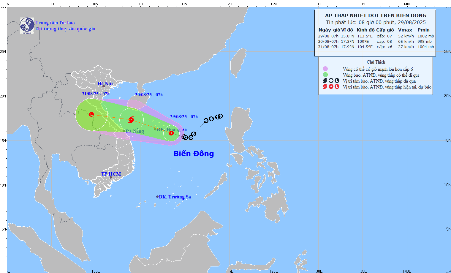
Vietnam’s National Center for Hydro-Meteorological Forecasting (NCHMF) also confirmed that today, August 29, the system is forecast to develop into a storm, the sixth to form over the East Sea this year.
According to the NCHMF’s 8 a.m. bulletin, the tropical depression’s center was located at approximately 15.8 degrees North latitude and 113.5 degrees East longitude, over the southeastern waters of the Paracel Islands. Maximum sustained winds near the center reached Force 6–7 on the Beaufort scale (39–61 km/h), with gusts up to Force 9. The system is moving northwestward at around 15 km/h.
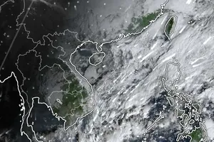
Meteorological agencies worldwide continue to monitor its evolution. Data from multiple sources—including the US GFS model, the European ECMWF model, and Himawari-9 satellite imagery—suggest the tropical depression could directly impact Central Vietnam in the coming days.
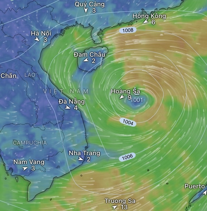
Potential to reach Force 8
Forecasts from both US and European models indicate the system may intensify into a storm, albeit a low-grade one, reaching Force 8 on the Beaufort scale as commonly used in Vietnam. It is projected to track west-northwest at 15–20 km/h, potentially making landfall between Ha Tinh and Quang Binh between August 29 and 30.
By contrast, models from Japan and Hong Kong (China) are more cautious, suggesting the system’s central pressure may not deepen significantly and that it could remain a tropical depression as it approaches land.
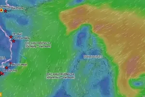
International platforms such as Zoom Earth and Windy, integrating data from NOAA, JTWC, ECMWF, and GFS, also project a relatively stable trajectory, though forecasts diverge on storm intensity.
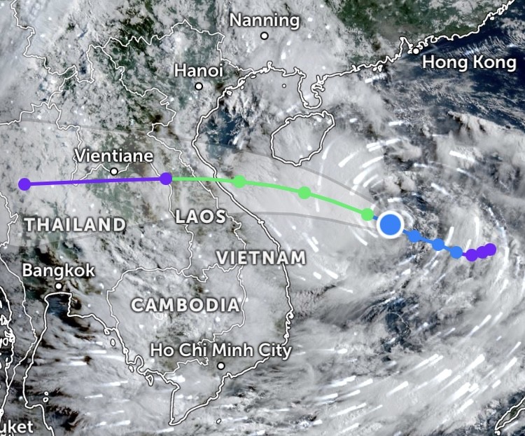
Heavy rainfall threat
Meteorologists warn that even a weak storm could bring intense rainfall, particularly in Ha Tinh, Nghe An, Quang Tri, and Thanh Hoa provinces, with expected accumulations of 300–400 mm over the coming days and localized totals exceeding 500 mm.
In the Red River Delta, including Hanoi, intermittent moderate to heavy showers are forecast, potentially disrupting outdoor activities through the end of August.
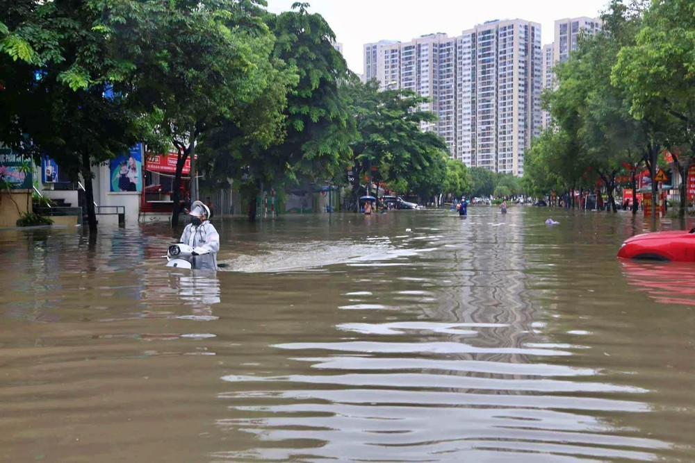
Experts urge residents to closely follow updates from the NCHMF and international channels to prepare effective response plans—especially as many areas have only recently been battered by extreme rainfall linked to the circulation of storm No.5 (Kajiki).
The NCHMF forecasts that from August 29 to 31, widespread heavy rainfall will affect all three regions—North, Central, and South—with Central Vietnam bearing the brunt.
Scattered showers and thunderstorms had already been reported across the Central Highlands and Southern provinces, with some stations recording significant totals: Mo Rai (Quang Ngai) 92.8 mm, Ho Da Den (HCMC) 59.6 mm, and Yang Nam (Gia Lai) 51 mm on the morning of August 29.
From late August 29 through August 30, rainfall is expected to intensify and spread. The Northern midlands and Red River Delta, along with provinces from Thanh Hoa to Da Nang, are forecast to receive 70–150 mm, with localized amounts above 300 mm.
From Thanh Hoa to Hue, torrential rainfall is expected, with totals of 120–250 mm and peaks surpassing 450 mm in some locations. Other regions—including the Northern provinces, areas from Quang Ngai to Lam Dong, and the Southern region—will continue to see scattered showers and thunderstorms with rainfall ranging from 10–30 mm and over 80 mm in places.
Heavy rains are forecast to persist across Northern and North-Central provinces on August 31, with three-day accumulations as follows: Northern Vietnam and Thanh Hoa–Da Nang, 100–200 mm (locally above 400 mm); Thanh Hoa–Hue, 150–350 mm, with some sites potentially exceeding 600 mm.
High-risk warnings
Experts caution that this spell of heavy rainfall constitutes a severe, widespread event with significant compound risks.
North-Central provinces, especially from Thanh Hoa to Quang Tri, face a heightened risk of flash floods in small rivers and streams, as well as landslides in mountainous and steep terrain.
Low-lying areas in the Red River Delta and major urban centers such as Hanoi, Hue, Da Nang, and industrial zones face serious flooding risks should rainfall persist.
Road and rail traffic in Central Vietnam may be severely disrupted due to inundation and landslides.
The NCHMF advises residents and local authorities to closely monitor official forecasts and proactively implement preventive measures to safeguard lives and property.
