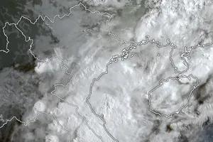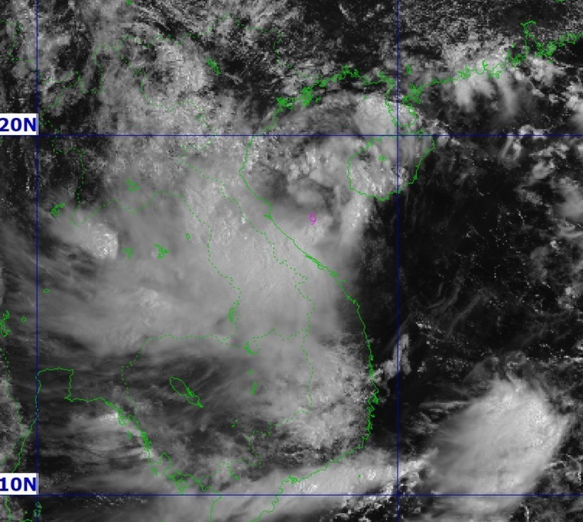
A tropical depression in the northwestern part of the East Sea has intensified into a storm—Nongfa, the sixth in the sea this year, according to the National Centre for Hydro-Meteorological Forecasting.
At 7 a.m. on August 30, the storm’s center was located at some 17.7 degrees North and 108.4 degrees East, around 210 km east of the north of central Quang Tri province. Nongfa sustained maximum winds of 62–74 km per hour (Level 8) and gusts up to Level 10. It was moving west-northwest at about 20 km per hour.
As of 7 pm on August 30, it is forecast to be on the mainland of the central Ha Tinh and Quang Tri provinces, moving west-northwest at 20 km per hour. It is likely to pack winds of Level 7, gusting up to Level 9, at that point in time and later gradually abate into a tropical depression.
Affected areas include the west of the northern East Sea and the waters off the coast from Thanh Hoa province to Da Nang city.
Coastal areas from Nghe An to Quang Tri are forecast to experience increasingly strong winds from midday on August 30.
As of 7 am on August 31, the depression will be in central Laos, keep moving west-northwest at 20 km per hour, and then ease further into a low-pressure area.
From August 30 through August 31, the localities from Thanh Hoa to Hue will record downpours of 150–300 mm, even more than 500 mm in some places. Northern midland and delta regions, together with Da Nang, may witness rainfall of 70–150 mm, even over 300 mm in certain areas, the center warned.


