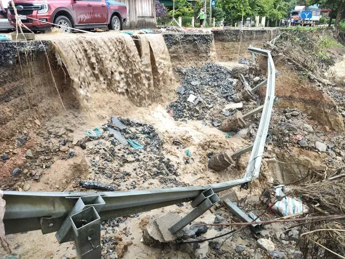
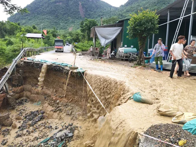
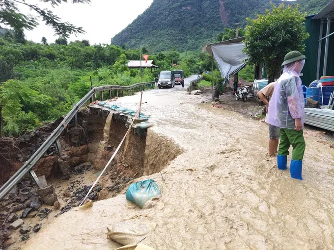
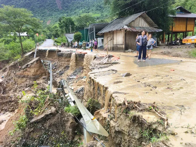
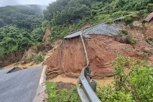
As observed by Sai Gon Giai Phong (SGGP) Newspaper’s reporter at the scene, the lower slope collapsed over dozens of meters, eroding more than halfway of the road’s width.
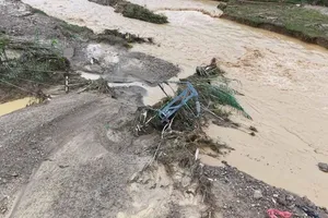
The landslide has resulted in deep overhangs in several areas, leading to non-stop water flow from mountain streams, worsening the erosion and posing dangers for vehicles.
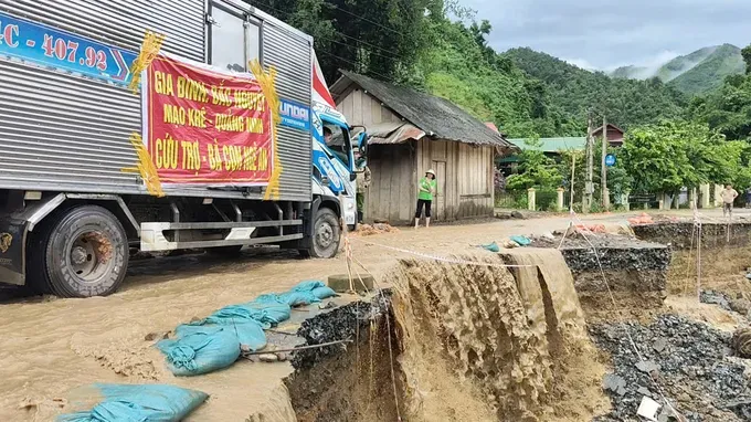
The current situation makes significant difficult for relief trucks heading to My Ly and Nhon Mai communes, where have been heavily affected by the recent floods.
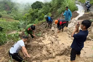
Local authorities of Bac Ly Commune are currently stationed on the site to regulate traffic and ensure the safety of residents and relief convoys.
National Highway 16 is a vital route for security and defense, spanning hundreds of kilometers through Que Phong, Tuong Duong and Ky Son districts in former Nghe An Province.
During the late July floods, multiple sections along the national highway running through Nhom Mai and My Ly communes were heavily damaged by flooding, with widespread landslides leaving many hamlets isolated.
Below are photos of the landslide scene along National Highway 16: