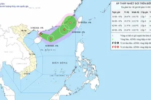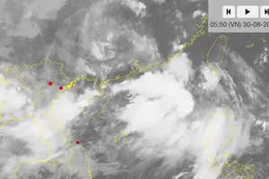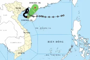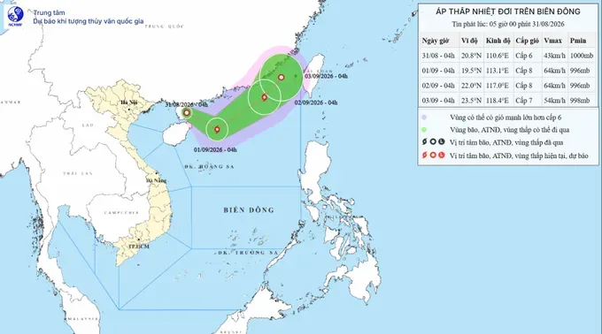
At 4 a.m. on August 31, the system was located at about 20.8 degrees North latitude and 110.6 degrees East longitude, east of China’s Leizhou Peninsula. It had maximum sustained winds of Force 6, with gusts reaching Force 8, and was moving southwest at around 10 kilometers per hour.
Hoang Phuc Lam, Deputy Director of the National Center for Hydro-Meteorological Forecasting, said that the depression could strengthen into a storm as it moves toward the northern East Sea.
From August 31 to the morning of September 1, the system is forecast to move east-southeast at 10–15 kilometers per hour over the northwestern waters of the northern East Sea and could strengthen to Force 8, with gusts up to Force 10.
From September 1 to September 2, the storm is expected to move east-northeast at about 20 kilometers per hour toward the northeastern waters of the northern East Sea, maintaining Force 8 winds and gusts of Force 10. It will then turn northeast, slow to around 10 kilometers per hour and gradually weaken into a tropical depression.
During this period, the northwestern waters of the northern East Sea are expected to experience Force 6–7 winds, gusting to Force 8–9, with waves 2–4 meters high. Near the storm’s path, winds could reach Force 8, with gusts of Force 10, and waves 3–5 meters high, creating rough seas.
Vessels operating in the affected areas could face thunderstorms, strong winds and high waves. Meteorological authorities are closely monitoring the system as it could strengthen into a storm.