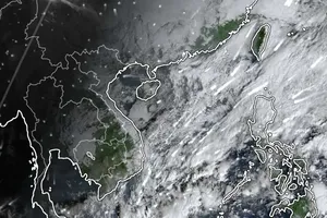
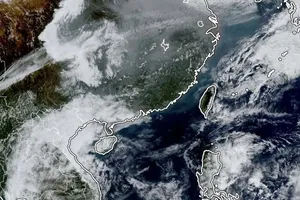
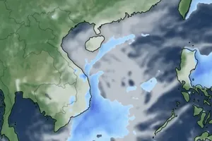
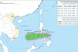
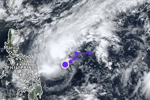
According to the National Hydro Meteorological Forecasting Center, a tropical depression located in the East Sea (Bien Dong) has now turned into Storm ‘Wutip’.
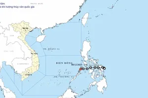
On the afternoon of September 27, Storm ‘Wutip’ was located 380 kilometers east of Paracel Islands at longitude 17 degrees north and latitude 115.8 degrees east.
The storm sustained wind speeds of 62-88 kph near the center and according to weather forecasts, within the next 24 hours, it will move west northwestwards. Later the storm may change direction and move west southwestwards. Until the afternoon of September 28, the storm will be located 190 kilometers east of Paracel Islands at longitude 16.7 degrees north and latitude 114 degrees east.
Due to its effect, the north -east sea regions and territorial waters of Paracel Islands will remain choppy due to strong wind speeds of level 8-12.
On the other hand, because of the south-westerly winds operating in territorial waters from Binh Thuan to Ca Mau and the Truong Sa (Spratly) Islands, the regions will face strong winds of level 6-8 and heavy thunderstorms.


