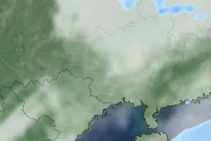
Meteorological agencies have warned about widespread heavy rainfall across the Central and Central Highlands regions. From the night of December 23 to the end of December 24, areas from Da Nang to Khanh Hoa are forecasted to experience moderate to heavy rain, with some locations receiving torrential rainfall of 40-120mm, and isolated areas exceeding 200mm. The Eastern Central Highlands will also see rainfall ranging from 30-60mm, with certain areas exceeding 100mm.
From December 25, provinces in Central and South-Central Coast, as well as the Eastern Central Highlands, will continue to experience moderate to heavy rain, with torrential rainfall in some localized areas. Rainfall is expected to ease gradually from December 26.
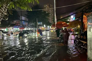
Prolonged heavy rain may lead to flooding on rivers from Quang Nam to Khanh Hoa, with levels reaching or exceeding warning levels 1-2. Low-lying areas are at high risk of flooding, while mountainous regions face significant risks of flash floods and landslides, especially in provinces from Quang Nam to Khanh Hoa.
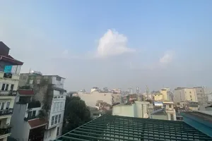
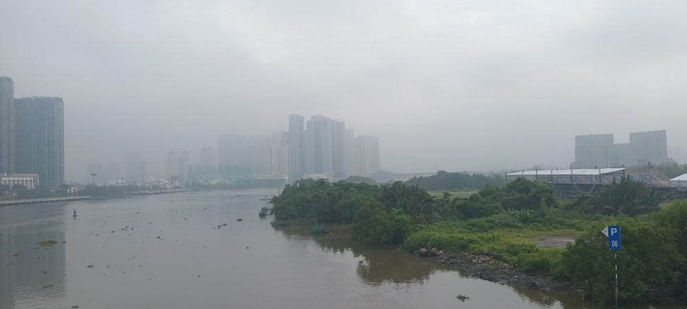
In HCMC, the weather will be partly cloudy, with sunny weather during the day and dry conditions at night. Light fog is expected in the early morning, followed by sunny weather. In the late afternoon and evening, there will be scattered rain showers and thunderstorms, with the possibility of strong winds and tornadoes during storms.
To prepare for storm No.10, the HCMC Civil Defense, Disaster Prevention, and Search and Rescue Command has directed relevant departments and agencies to take proactive measures to ensure the safety of residents, secure vessels, and mitigate potential impacts.
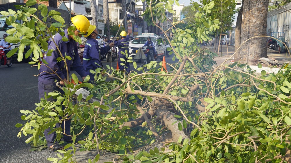
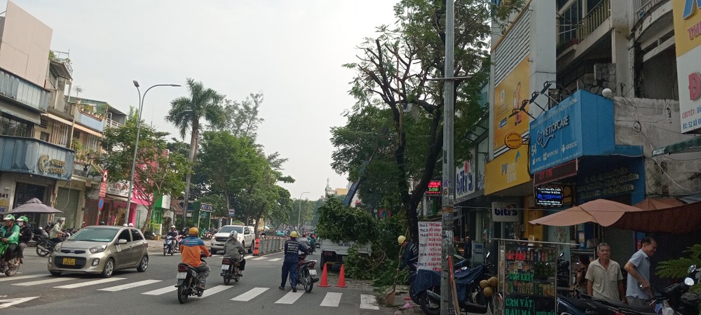
The Can Gio District People's Committee is organizing the relocation of residents from Thanh An Island Commune and temporary riverside or coastal homes to safer locations. The Department of Construction and related units are inspecting and addressing hazardous trees to maintain clear and safe traffic conditions. The Department of Transport is closely monitoring storm developments and managing traffic through the Saigon River Tunnel to ensure maximum safety.
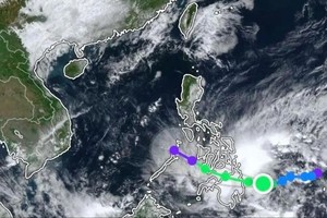
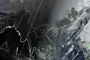
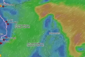
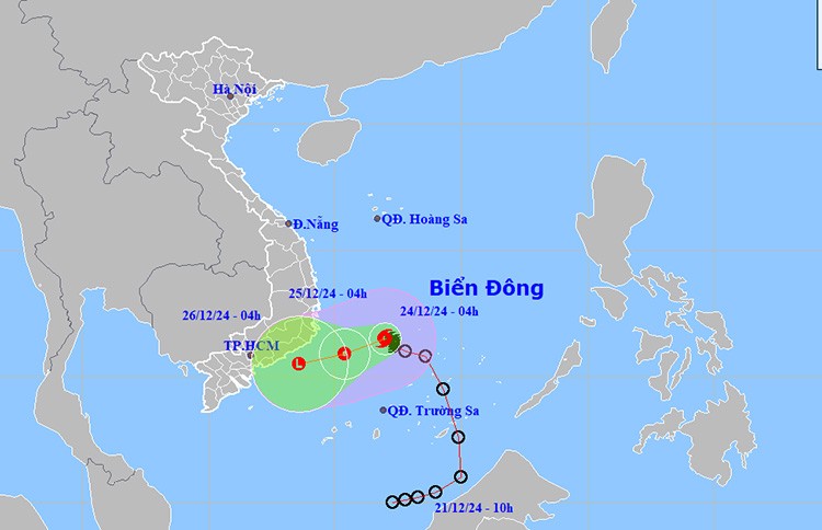
At 4 a.m. on December 24, the Southern Region Hydro-Meteorological Center reported that the center of the storm was located at approximately 11.5 degrees North latitude and 112 degrees East longitude, in the central East Sea. The strongest winds near the storm’s center were at level 8 (62-74 km/h), with gusts up to level 10, moving westward at a speed of 5-10 km/h.
Due to the storm’s impacts, the Southwestern part of the central East Sea and the Northwest part of the East Sea (including the waters west of the Spratly Islands) will experience winds at levels 6-7. The area near the storm's center saw winds of level 8, gusting up to level 10, with waves reaching 4-6 meters and rough seas. The waters from Khanh Hoa to Binh Thuan, including Phu Quy Island, will experience winds at level 6, with gusts up to level 7 and gusts reaching level 9, with waves between 3-6 meters and rough seas. Ships operating in these dangerous areas may be affected by storms, strong winds, and large waves.
The sea area from Ba Ria-Vung Tau to Ca Mau, including the waters of HCMC, will experience Northwest winds at levels 4-5, with calm seas and waves around 1.5 meters. The waters from Ca Mau to Kien Giang and Phu Quoc will experience Northeast to Northwest winds at levels 4-5, with waves between 0.5-1.5 meters. Both regions will experience showers and thunderstorms.
In the next 48 hours, the storm will continue moving southwest at a speed of 5-10 km/h. By 4 p.m. on December 25, the storm's center will be located around 10.8 degrees North latitude and 109 degrees East longitude, in the waters between Phu Yen and Ba Ria-Vung Tau.


