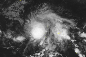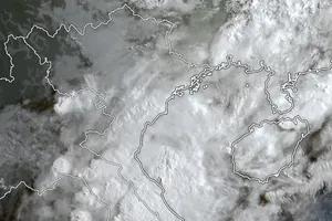
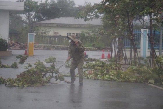
According to the National Hydrology Meteorology Forecast Center, the most intense storm of 2020 fizzled at around 14.4 degrees north latitude and 110.5 degrees east longitude of offshore provinces from Da Nang to Phu Yen as of this early morning.
Molave has been maintaining its intensity of 135 to 150 kilometers an hour for most of today.
In next 12-24 hours, the supper storm is set to move rapidly west- northwestward towards the Central mainland provinces and cities from Da Nang to Phu Yen with sustained winds of level 12-13.
By 4PM today, the eye of Molave is expected to be at 15.0 degrees north latitude and 107.6 degrees east longitude of the northern part of Central Highlands region.
By the early morning of Thursday, typhoon Molave is forecast to weaken into a tropical depression in the southern mainland region of Thailand.
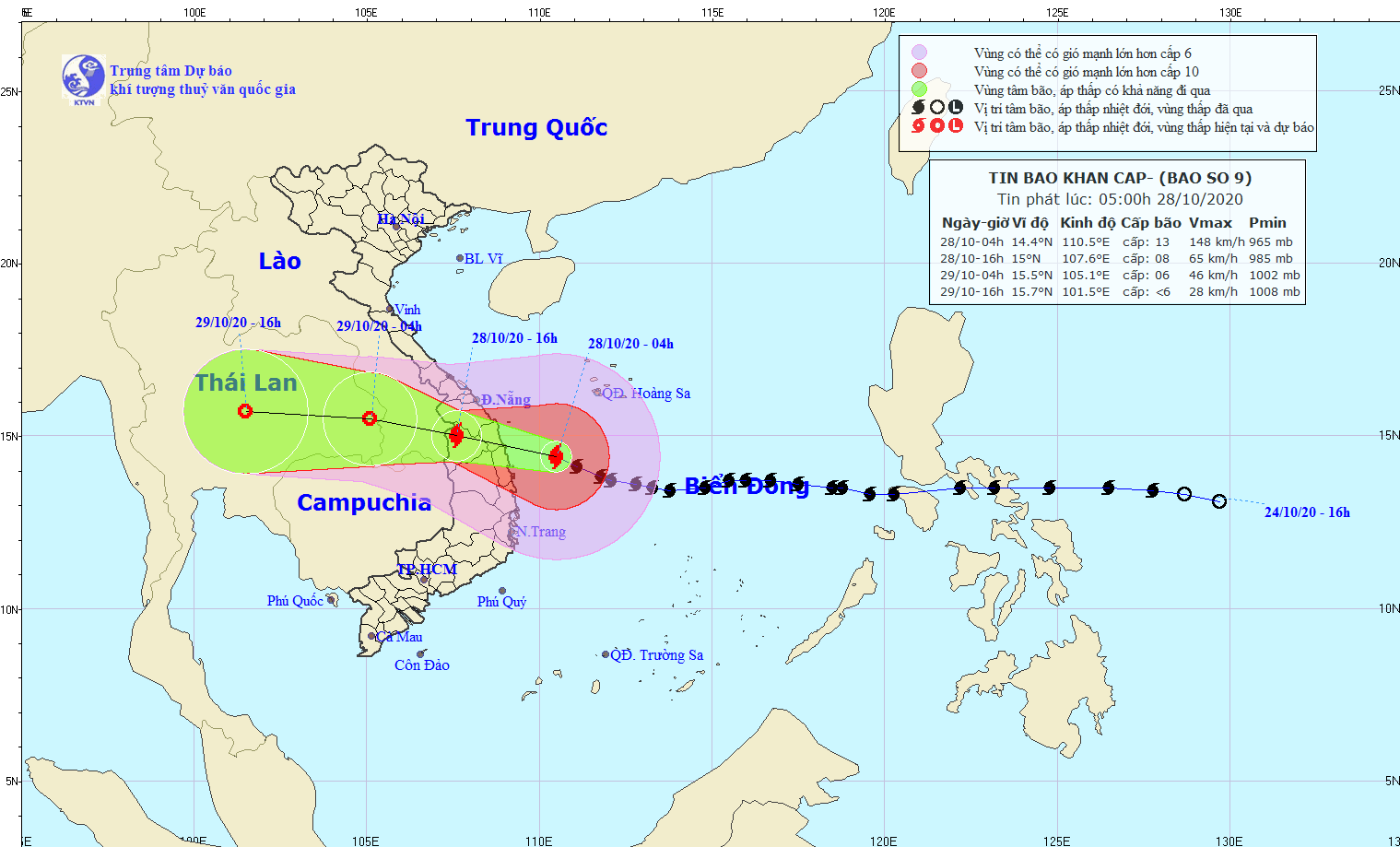
The bad weather conditions for gale-force winds, rough sea and big waves of up to 8 meters are warned for the north- East Sea including the southern territorial water of the Spratly Islands, offshore provinces from Da Nang to Phu Yen including Ly Son Island District, the Gulf of Tonkin and territorial waters from Quang Tri to Thua Thien Hue including Con Co Island.
Additionally, the coastal provinces from Nghe An and Binh Dinh are also set for unsettled weather condition with rising floodwater of 0.5 to 1.5 meters leading to flooding at low-lying areas, river mouths and lagoons.


