Vietnamese meteorologists forecast that around October 6, the storm’s center will reach eastern North.
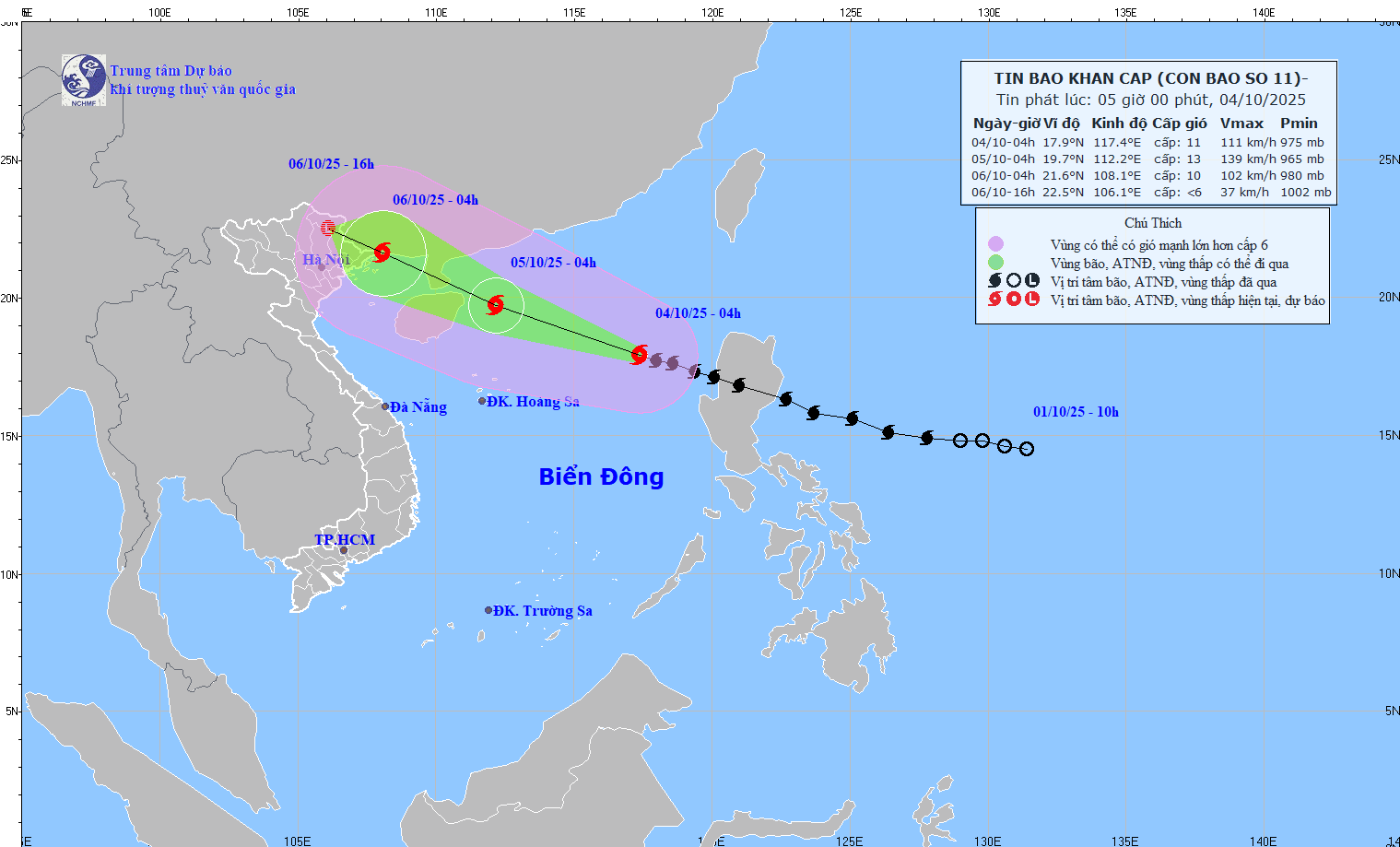
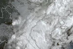
According to the National Center for Hydro-Meteorological Forecasting, as of 6 a.m., the center of storm No. 11 was located at approximately 18 degrees North latitude and 117.1 degrees East longitude, about 530 kilometers east-northeast of the Paracel Islands.
At the time, the storm was at level 11 strength (103–117 kilometers), with gusts up to level 14. In the next three hours, it is forecast to move west-northwest at a speed of 20–25 kilometers per hour.
Forecasts for the early morning of October 5 indicate that the storm will be about 130 kilometers east of the Leizhou Peninsula, China. At this time, the storm may strengthen to category 13, with gusts up to category 16. The entire northern part of the East Sea is under threat.
By early morning on October 6, the storm is expected to enter the northeastern waters of the Gulf of Tonkin, then move directly toward the coastal areas of Quang Ninh Province, with its strength decreasing to category 10, gusting up to category 13. By the afternoon of October 6, the storm will move further inland into the Northeast region.
Vietnam’s meteorological agency has warned that the coastal areas of Quang Ninh and Hai Phong may experience storm surges combined with high tides, potentially causing flooding in low-lying coastal and river mouth areas.
Inland localities from Quang Ninh to Ninh Binh are expected to experience wind force scale 6–8, with areas near the storm’s center reaching category 9–10, potentially causing trees to fall, roofs to be blown off, and damage to houses and power poles.
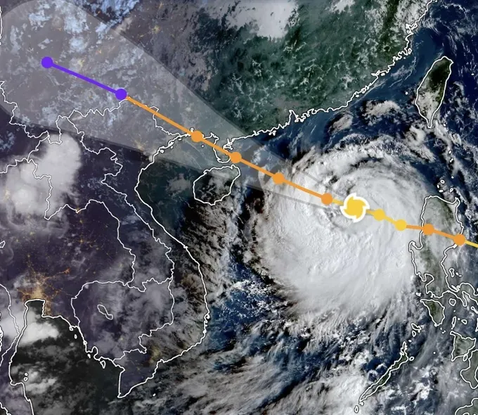
The storm will also bring widespread heavy rainfall. From the night of October 5 until the end of October 7, the Northern region, Thanh Hoa and Nghe An provinces are expected to experience heavy to very heavy rain, with total rainfall generally between 100 mm–200 mm, and exceeding 300 mm in some areas.
In the mountainous and midland areas of the North, rainfall is expected to range from 150 mm to over 400 mm, raising the risk of flash floods and landslides.
Some meteorological experts indicated that storm No. 11 takes a trajectory similar to storm Ragasa. Before making landfall in the northern area of the Gulf of Tonkin, storm No. 9 is a super typhoon reaching force 16–17. However, when making landfall in Vietnam’s northern mountainous region, the storm will neither be as strong as predicted nor bring as much rainfall as earlier forecasts from Vietnam’s meteorological agencies had indicated.

