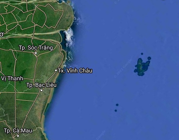
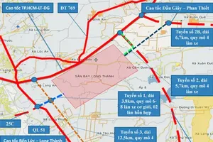
 Map of the coastal road
The 85-kilometer route will start from My Thanh Bridge 2 linking with Nam Song Hau national road, running along the coastline in Vinh Chau town, and end at the sea dyke route in Bac Lieu Province.
The project includes an upgrade of 13 bridges on the 53-km section connecting Tra Vinh and Bac Lieu provinces.
The east-west economic development axis route located at an intersection where the provincial road 935 and district road 41 meet in Vinh Chau Town’s Khanh Hoa Ward in Soc Trang Province has a length of 18 kilometers.
There will be the provincial road 935C running from Nam Song Hau road to the provincial road 936B.
The project construction is expected to be kicked off in 2024 and contribute to preventing salinization and sea tide, adapting to climate change, connecting provinces in the region and ensuring national defense and security.


