Meteorologists also warned of the potential for multiple tropical depressions in the East Sea through the end of September.
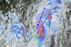
On the morning of September 16, radar data showed concentrated rainfall in the area between Lao Cai and Tuyen Quang provinces and between Thanh Hoa and the southern Red River Delta.
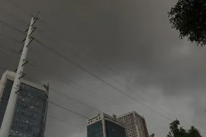
Thunderstorm clouds are lingering and spreading further inland.
The Central and Southern regions remain mostly dry this morning. However, by late afternoon and evening, thunderstorms will return to the regions, similar to yesterday, September 15.
A strong southwest monsoon, together with an equatorial trough and easterly disturbances, will drive evening thunderstorms, whirlwinds and strong gusts and lightning.

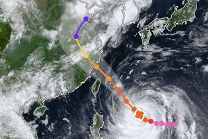
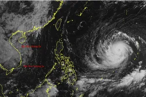
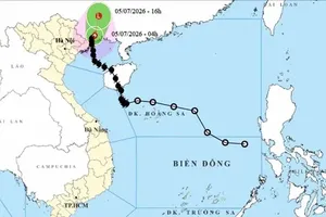
Meteorologists noted that at least two tropical depressions or storms are likely to form in the East Sea from now until the end of September.
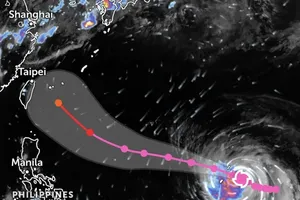
Currently, a low-pressure system marked #98W in the East Sea has a chance of 60 percent of intensifying into a tropical depression before September 23.
Another low-pressure system, marked #99W, off the coast of the Philippines, has a chance of 80 percent of developing into a storm when it enters the East Sea between September 23 and September 26.
Residents are recommended to closely monitor weather updates and be prepared for heavy rains, thunderstorms and potential tropical depressions.