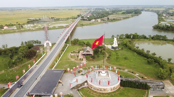
After the Geneva Agreement was signed in July 1954, at the 17th parallel, Hien Luong Bridge crossing the Ben Hai River in Hien Luong Village, Vinh Thanh Commune, Vinh Linh District, Quang Tri Province, was the boundary dividing the North and the South of Vietnam.
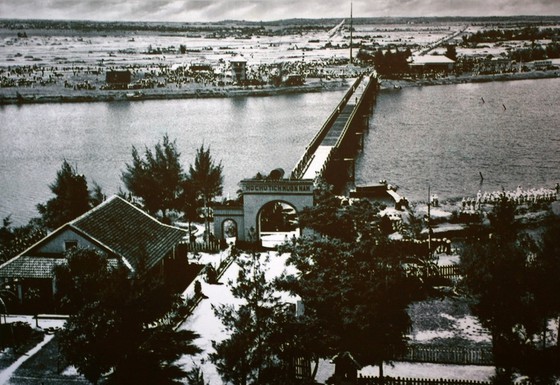 It took 21 years after the partition for the country to reunify. A panoramic photo of Hien Luong Bridge on the Ben Hai River in 1961, viewed from the Northern bank, is displayed in the Museum of the 17th parallel and aspiration for reunification.
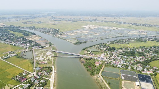 The panorama of Hien Luong-Ben Hai special national historical relic.
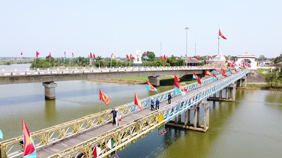 Hien Luong Bridge crossing the Ben Hai River in Hien Luong Village, Vinh Thanh Commune, Vinh Linh District, Quang Tri Province, used to be the boundary separating the North and the South, built by France in 1952. The bridge was demolished by the US bombing in 1967 then it was restored and inaugurated in May 2003.
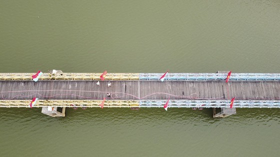 Hien Luong Bridge was painted blue and yellow - the result of the paint color war that took place fiercely between the Northern and Southern banks. If the Northern bank was painted blue, the Southern bank was painted yellow. This war lasted until 1960, and the paint color of the bridge has been kept until today.
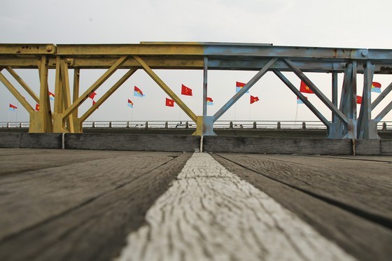 The boundary line in the middle of Hien Luong Bridge
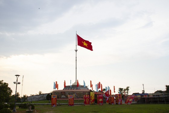 The current Demarcation Flagpole at the Northern bank
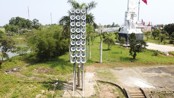 The speaker and flag battles that took place by the historical river were equally fierce.
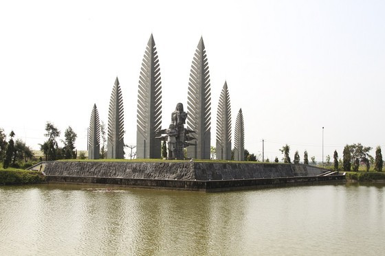 The monument themed "Aspiration for unification" on the Southern bank of the Ben Hai River.
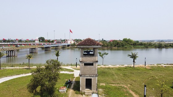 The Hien Luong-Ben Hai special national historic relic is seen from the Southern bank of the Ben Hai River.
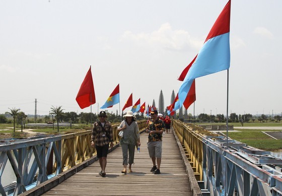 Thousands of people from all over the country visit the Hien Luong-Ben Hai special national historic relic.
 Tourists take photos when visiting Hien Luong Bridge.
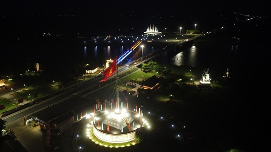 The Hien Luong-Ben Hai special national historic relic at night.

