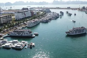
The government has decided to pass a plan to make Phu Quoc island a centrally administered special economic zone by 2020. This will help to develop this 593 square-kilometer island ( the biggest
Besides, under a development plan for the period up to 2020, the province, situated 250 kilometers south of Ho Chi Minh City, will also upgrade the stretch of National Highway 80, and to build a coastal road south of HCMC, and build a Ha Tien – Rach Gia – Bac Lieu highway to aid development of the Rach Gia and Phu Quoc airports.
Kien Luong town and Ha Tien city, Thanh Hung from Giong Rieng town, and Soc Xoai from Hon Dat town will then merge with the province.

Phú Quốc is the largest island in
Located in the Gulf of Siam, Phú Quốc island lies just off the Cambodian coast, 62 nautical miles (115 km; 71 mi) from Rạch Giá, 8.1 nautical miles (15.0 km; 9.3 mi) from Kampot
A mountainous ridge known as "99 Peaks" runs the length of Phú Quốc, with


)


)