At 3:30 am, its eye was centered at around 8.2- 9.2 degrees north latitude and 101.5- 102.5 degrees east longitude.
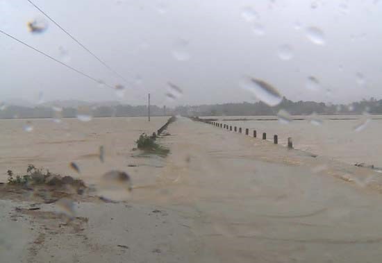
Due to the heavy ainfall, urgent flood is warned to hit the river systems in Quang Nam and Quang Ngai provinces.
Vice Director of the National Hydrology Meteorology Forecast Center Le Thanh Hai said that the low pressure zone hitting the Gulf of Thailand is an unusual phenomenon which appears only one in five years.
Within next 24 hours, it is predicted to slowly move the northwestward at 5-10 kilometers per hour, and then it is expected to develop into a depression zone.
By 1am tomorrow, the depression will be located at around 10.2 degrees north latitude and 100.2 degrees east longitude of the westward of the Gulf of Thailand with the maximum wind near the center at 40- 50 kilometers an hour.
Because of the depression circulation, the southern territorial waters from Ca Mau to Kien Giang provinces and the Gulf of Thailand have experienced showery weather, powerful wind of level 5-8, big wave of 2-3 meters and sea rough.
Cold air also hit the east northern monsoon gusting level 6-8 in the Gulf of Tonkin and central territorial waters from Quang Tri to Quang Nam provinces including the Ly Son Islands.
This early morning, flood water level on Ve River (Quang Ngai) reached at 5.93 meters, higher than controlled water level at 1.43 meters while water level on Dakbla River (Kon Tum) was measured at 5.19 meters.
From November 7- 8, the central provinces from Ha Tinh to Quang Binh continue suffering medium- heavy rain.
Flood level on river systems from Quang Tri to Quang Ngai provinces is forecast to be up causing serious flooding in lowlands in provinces from Thua Thien- Hue to Binh Dinh.
By November 9, the rainfall in the central will be able to reduce slightly.

)


