A ceremony on software annoucement is expected to take place on November 24.
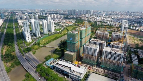
The software will publicize land use plan maps, locations and other information, facilitating residents and businesses’ search in computers, tablets and smart phones.
The project also aims at collecting residents and businesses’ opinions about urban plans in the city.
In addition, the Department of Planning and Architecture will work with authorized agencies to advertise the pilot implementation of one door mechanism in construction license granting under the agency’s jurisdiction and mobile applications about traffic and flooding.
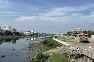
The city has also required the agency to work with the World Bank to study new technologies to broaden applications in managing construction plans and works in riverside areas, alongside canals and underground in the city.
