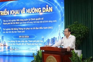
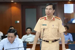
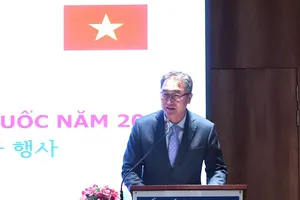
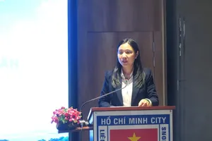
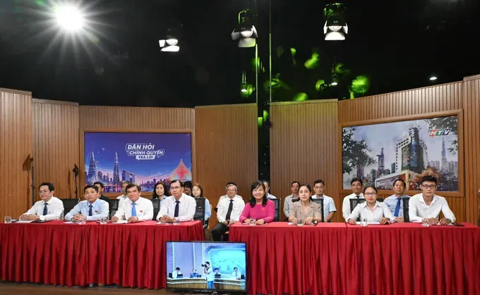
On October 11, the Standing Committee of the Ho Chi Minh City People's Council, in coordination with Ho Chi Minh City Television and Radio Station, organized the "People Ask – Government Answers” program for October 2026, themed "Concentrating Resources to Develop and Complete Multimodal Transportation Infrastructure."
28 high-risk congestion hotspots
")
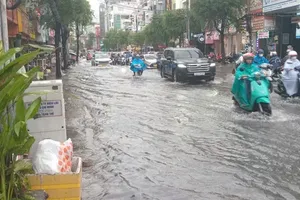
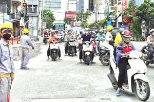
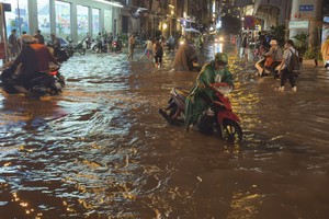
At the program, many Ho Chi Minh City voters expressed concern over the progress of resolving traffic congestion and flooding, as well as plans for allocating resources to invest in synchronized infrastructure. Addressing these issues, Director of the Ho Chi Minh City Department of Construction Tran Quang Lam stated that the city is prioritizing the completion of its framework infrastructure, enhancing regional connectivity, developing the metro system, and effectively exploiting the potential of waterway transport.
Accordingly, the city has identified 28 traffic bottlenecks at risk of frequent congestion to be conclusively resolved by 2030. Between now and the end of the term, the city will deploy 98 key projects, including the My Thuy, An Phu, and Nguyen Van Linh–Nguyen Huu Tho intersections and the expansion of National Highway 13 and National Highway 1, along with the Nguyen Khoai and Binh Tien bridge and road projects.

Regarding investment resources, Deputy Director of the Ho Chi Minh City Department of Finance Truong Tan Vu stated that under the medium-term public investment plan for 2026–2030, the city is allocating approximately VND200,000 billion (US$7.7 billion) for 98 transport projects and VND120,000 billion for 37 regional and inter-provincial transport connectivity projects.
The city is also allocating VND26,000 billion for 59 flood mitigation projects and approximately VND58,000 billion for 59 urban renewal projects, including the clearance and relocation of houses on and along rivers, canals, and streams. Priority ranking is determined based on urgency in addressing traffic congestion and flooding, connectivity potential, and socio-economic and environmental efficiency.
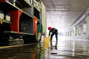
During this period, Ho Chi Minh City is focusing on fundamentally resolving rainfall-induced flooding, prioritizing the central area, severely flooded spots, main thoroughfares, and densely populated residential areas.
Regarding solutions to mobilize social capital, the city expects to utilize approximately VND140,000 billion in public budget funds to participate in public-private partnership (PPP) projects, thereby leveraging an estimated VND800,000 billion from the private sector. This strategy aims to maximize the role of state capital in guiding private resources while prioritizing projects with widespread spillover effects and the capacity to unblock infrastructure bottlenecks.
Connecting the metro system and reducing commuting costs
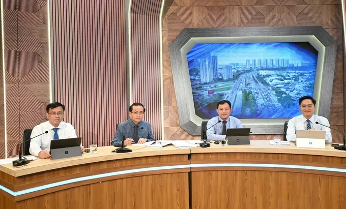
At the program, a representative of the Ho Chi Minh City Department of Planning and Architecture stated that the city aims to synchronously connect ring roads, expressways, industrial zones, seaports, airports, and logistics hubs, flexibly combining road, freight rail, and waterway transport.
Providing further information to voters, a representative of the Ho Chi Minh City Urban Railway Company No. 1 (HURC1) said that after nearly two years of commercial operation, Metro Line 1 has served approximately 39.2 million passenger trips. In the first nine months of 2026 alone, passenger volume exceeded 18 million trips, up roughly 17.5 percent year-on-year.
However, station accessibility and transit infrastructure still face limitations. Although 68 bus routes currently connect to all 14 stations, accessing the metro remains inconvenient in several densely populated areas. Moving forward, the operator plans to study increasing train trips, adjusting service frequency, shortening wait times during peak hours, and enhancing integration with public bicycles and electric motorbikes.
Additionally, the city is accelerating the implementation of integrated ticketing and unified payment systems.
The Director of the Ho Chi Minh City Department of Construction noted that electronic ticket readers have been installed on nearly 2,000 vehicles across 135 bus routes and at all 14 stations of Metro Line 1. The system supports payments via bank cards, e-wallets, citizen identification cards, VNeID, and QR codes.
In addition, the MultiGo application has recorded over 500,000 downloads, assisting citizens in looking up routes and planning multimodal trips. Under the 2026–2027 roadmap, the city will finalize a shared database, standardize user identification under a "one user – one identity – one account" model, and roll out integrated transit fare pricing across the entire public transport network.
Providing further details, the Public Transport Management Center stated that it has submitted proposed bus fare schemes and integrated fare plans to the Ho Chi Minh City People's Committee, with implementation expected from January 1, 2027, initially applying between buses and Metro Line 1. Under this scheme, passengers transferring between bus routes are expected to receive a discount of VND4,000 compared to single-trip cash fares. Furthermore, the city will introduce time-based integrated passes and combination bus-metro tickets, offering discounts of approximately 20 percent compared to purchasing each service separately.
According to the Ho Chi Minh City Urban Railway Management Authority (MAUR), the city is reviewing the planning of its urban railway and national railway systems to specifically define interconnected lines, shared depots, hub stations, and control centers.
The metro system will be tightly integrated with road, waterway, and bus networks; stations and transit-oriented development (TOD) areas are being planned in synchronization with urban expansion, industrial zones, and underground space development.
MAUR added that specific resolutions and the Urban Development Law have established key mechanisms to streamline investment procedures, allowing certain steps to be executed concurrently while boosting the utilization of underground space.
These mechanisms include separating compensation and resettlement work into independent projects and permitting surveys, measurements, and land tallies prior to issuing land acquisition notices, ensuring affected residents secure housing and living conditions equal to or better than their previous locations.
Notably, the city is permitted to retain 100 percent of the revenue generated from land exploitation in TOD areas to reinvest directly in railway projects and related transportation infrastructure. Project timelines are strictly managed via Gantt charts and specialized software, while all planning and compensation information is publicly disclosed for citizens to track and oversee.