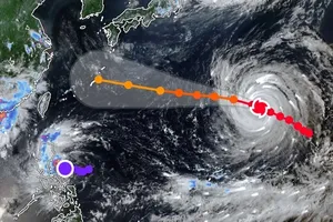
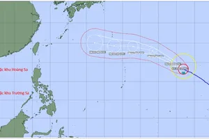
The tropical depression’s center was located at approximately 16.7 degrees North latitude and 121.5 degrees East longitude, with maximum sustained winds near the center reaching level 6 (39–49 km/h), gusting to level 8, at 7 a.m. on August 22. The system was moving northwest at a speed of 10–15 km/h. Forecasts indicate that by around 7 a.m. on August 24, the depression is likely to strengthen into a storm.
Under its influence, once upgraded, the sea area from Lam Dong to Ca Mau (including waters off HCMC) will experience Southwest winds of level 4, occasionally level 5, with wave heights of 1–2 meters, accompanied by scattered showers and thunderstorms. Tornadoes and strong gusts are possible during thunderstorms.
In the coming days, waters off HCMC (including Con Dao and DK 1-7 stations) are expected to see scattered showers and thunderstorms, with tornadoes and gusts of up to level 6 during storms. From August 25 to 26, Southwest winds may intensify to level 6, with gusts reaching levels 7–8, and wave heights of 1.6–2.2 meters, resulting in light to moderate rough seas and posing risks to maritime operations.
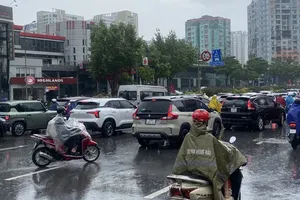
Weather forecasts for southern provinces and HCMC in the next few days indicate variable cloudiness, periods of sunshine during the day, and scattered showers and thunderstorms in the evening, with localized moderate to heavy rainfall. Thunderstorms may bring lightning, strong winds, and tornadoes.
To proactively respond to the tropical depression and potential storm, the HCMC Steering Committee for Civil Defense, Natural Disaster Prevention, and Search and Rescue has instructed relevant agencies and localities to prepare and implement safety measures for people and vessels operating on rivers, at sea, and within port waters. They have also been directed to ensure coordination for search and rescue operations and to have forces, equipment, and resources ready for deployment.
The People’s Committees of Can Gio, An Thoi Dong, and Thanh An communes, along with the city’s Border Guard Command, Fisheries Sub-Department, Fisheries Surveillance, and Coast Radio Station, have been tasked with continuously notifying vessels at sea about the tropical depression and potential storm so they can adjust their operations accordingly. They are also required to monitor, register, and keep track of all vessels in affected areas, while maintaining contact with vessel owners to provide guidance and swiftly handle emergencies.
Meanwhile, media agencies have been urged to promptly disseminate warnings and forecasts on the tropical depression’s developments, including its potential to intensify into a storm, as well as directives from central and municipal authorities, ensuring that local governments and residents can take timely and effective preparedness measures.