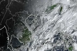
The heaviest rainfall is recorded in Khanh Hoa and Dak Lak provinces.
According to data from the National Center for Hydro-Meteorological Forecasting, from 7 p.m. on November 19 to early morning on November 20, rainfall in eastern Khanh Hoa and Dak Lak remained extremely heavy, with many locations receiving over 150mm in a short period.

At the same time, Da Nang City and eastern Quang Ngai Province experienced moderate to very heavy rainfall. Meteorological experts noted that some areas in Khanh Hoa and Dak Lak recorded nearly 400mm of rain overnight, accompanied by severe weather conditions.
Persistent heavy rain has caused river levels in the South Central Coast region to remain high.
In Dak Lak, the Ba River could crest on the morning of November 20, exceeding past flood levels by roughly 1.4 meters at Cung Son station and 0.49 meters at Phu Lam station, while the Krong Ana River rises further but remains under alert level 3.
In Khanh Hoa, the Dinh River in Ninh Hoa may exceed the 1986 flood peak by 0.12–0.42 meters, potentially reaching 6.7–7 meters. Flood levels on the Cai Nha Trang and Cai Phan Rang rivers continue to exceed alert level 3 by 1.2–3.8 meters at multiple hydrological stations.
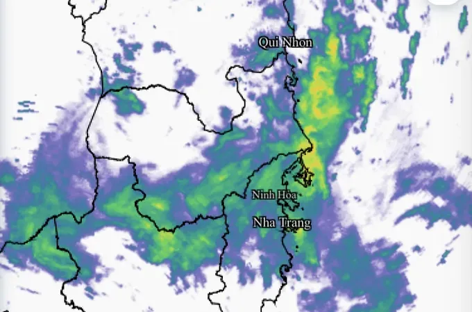
Meanwhile, in Lam Dong Province, water levels on the Da Nhim and Cam Ly rivers rose rapidly overnight on November 19. On November 20, water levels at Dai Ninh station may exceed alert level 3 by about 1.7 meters, still 0.25 meters below the historical peak, while at Thanh Binh station, floods could rise about 1 meter above alert level 3.
Satellite imagery indicates that rain in the border areas of Khanh Hoa and Dak Lak continues, keeping floodwaters high and slowing their recession.
Meteorological forecasts predict that from the morning of November 20 to the night of November 21, Da Nang, eastern Quang Ngai and northern Lam Dong will continue to receive 50–100mm of rain, with localized areas exceeding 150mm. Eastern Gia Lai and southern Khanh Hoa are expected to receive 70–150mm, with localized areas over 200mm.
Satellite data show that thundery clouds are still developing over the sea this morning and moving inland.
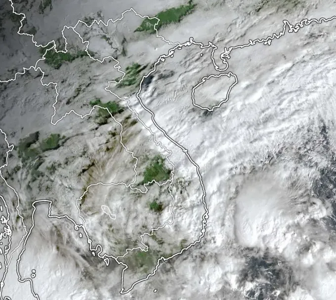
The National Center for Hydro-Meteorological Forecasting warns that on November 22, Da Nang, eastern Quang Ngai, Dak Lak and northern Khanh Hoa will continue to see 40–70mm of rain, with localized areas over 150mm. From November 24, heavy rain in the Central region is expected to decrease rapidly.
