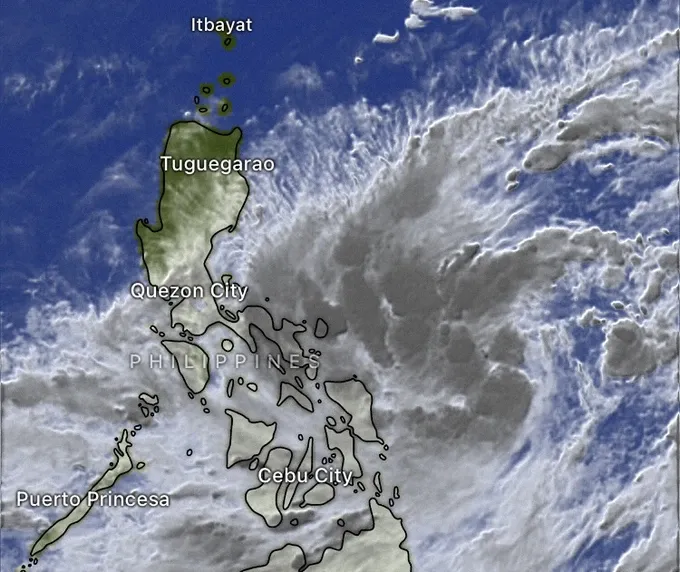
The tropical depression was located about 1,300 kilometers southeast of the Philippines’ Luzon Island, with sustained winds of up to 50-61 kilometers per hour and gusts reaching 75 kilometers per hour.
It is forecast that the depression will move west-northwestward and intensify into a storm by October 22 afternoon.
By October 25, the storm is likely to slam into the East Sea with sustained winds of 62-75 kilometers per hour and gusts of 103-117 kilometers per hour.
Head of the Weather Forecast Department under the National Center for Hydro-Meteorological Forecasting (NCHF) Nguyen Van Huong stated that the eastern waters of the northern part of the East Sea will experience blustery winds ranging from 62 to 133 kilometers per hour along with thundery rains, rough sea and huge waves and risk of cyclones.
The National Center for Meteorology and Hydrology Forecasting also warned that a cold wave would affect the Northern and North-Central regions, resulting in strong winds on the mainland of Vietnam and huge waves at sea along with widespread thunderstorms are across the Northern region from the Northern provinces and cities to the Central province of Binh Dinh, beginning on October 22.


)


