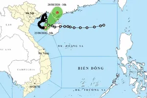
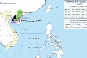
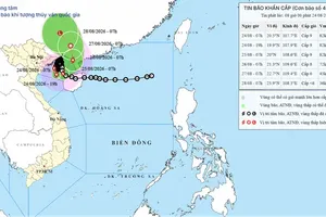
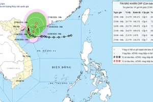
Vietnam's National Center for Hydro-Meteorological Forecasting reported that on July 7, at 7 a.m., the storm's center was located at 16.2 degrees North latitude and 140 degrees East longitude, about 1,850 kilometers east of the central Philippines and 2,100 kilometers southeast of Taiwan.
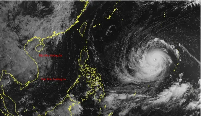
Over the next 24 hours, Bavi is forecast to move westward at 25–30 kilometers per hour. From July 9, it is expected to slow to 15–20 kilometers per hour and turn west-northwest toward Taiwan.
Forecasters said the storm is likely to maintain its super typhoon intensity for another two to three days before gradually weakening from around July 10.
On July 11, Bavi is forecast to pass north of Taiwan before making landfall in Fujian Province, China, around July 12. The storm is then expected to weaken further as it moves inland.
The weather agency said Bavi is unlikely to enter the East Sea, but its broad circulation is expected to generate rough seas across the region.
Beginning July 9, southwesterly winds over the southern East Sea, including waters around the Truong Sa (Spratly) Archipelago, are expected to strengthen to force 6.
On July 10 and July 11, winds of force 6–7 and waves of three to five meters are forecast across the northern, central and southern East Sea, including waters around the Hoang Sa (Paracel) and Truong Sa (Spratly) archipelagos, resulting in very rough seas.
The National Center for Hydro-Meteorological Forecasting advised vessels operating at sea to closely monitor the storm's development and take necessary precautions to ensure safety.