 |
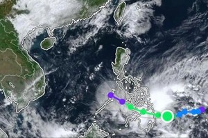
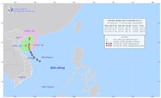
The path of storm No.5 was updated at 10 a.m on October 19. |
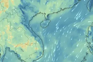
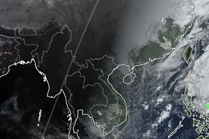
The National Center for Hydro-meteorological Forecasting reported that the storm's eye stayed at about 19.5 degrees north latitude and 108.6 degrees east longitude east of the Gulf of Tonkin, with a maximum wind speed of 74 kilometers per hour.
It is forecast that the storm will move north at a speed of 10 kilometers an hour and it could become more powerful by tomorrow morning.
From the dawn of October 20, the tropical storm-force winds will be in effect for much of the coastal provinces from Quang Ninh to Thai Binh.
By 10 a.m. on October 21, the center of the storm will be located in the south of the Gulf of Tonkin and move south-southwest at a speed of about 10 kilometers per hour and later it will tend to gradually downgrade into a tropical depression and a low-pressure zone.
Within the upcoming hours, the Gulf of Tonkin including Co To and Bach Long Vi islands will start to feel the impacts of the storm as the worst of rough sea, heavy surf and whirlwinds near the storm’s eye.
All boats, aquaculture areas and sea dikes in the above-mentioned areas are likely to be affected by strong winds and huge waves.
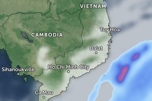
From midnight of October 19 to the early morning of October 21, the coastal areas, delta and the north of Northern region are in the potential of soaking downpours.


