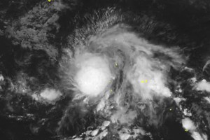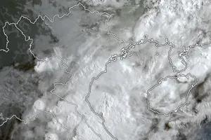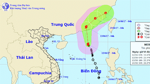
The storm was located at 20.1 degrees north latitude and 115.3 degrees east longitude, at 280 kilometers of the southeastwards of Hong Kong (China) with its strongest wind near the center of 9-11 level, yesterday afternoon.
Within next 24- 48 hours, it is going to move the northeastwards with a speed of 20 kilometers per hour, and forecast to be weakened into low pressure zone in Guangdong and Phuc Kien province of China.
By 7am tomorrow, its eye will be at 23.8 degrees north latitude and 114.9 degrees east longitude. The strongest wind near the center will gust level 6- 9.
Within next 24 hours, the damaged zone will be centered at 18.5 degrees north latitude and 113.5 degrees east longitude.
Because of an influence of storm circulation and southwest monsoon, the southern territorial waters of the East Sea from Ninh Thuan to Ca Mau, from Ca Mau to Kien Giang including the Spratly Islands will see small- medium rains, thunderstorms, cyclones and strong wind of level 6- 8.
Yesterday, a tropical low pressure developed into this year's first storm.

