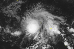
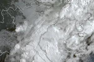
The National Center for Hydrology Meteorology Forecasting reported that at 10 a.m. on Monday, the intense storm’s maximum sustained winds increased by 133 kilometers an hour at around 650 kilometers east far from the Paracel Islands.
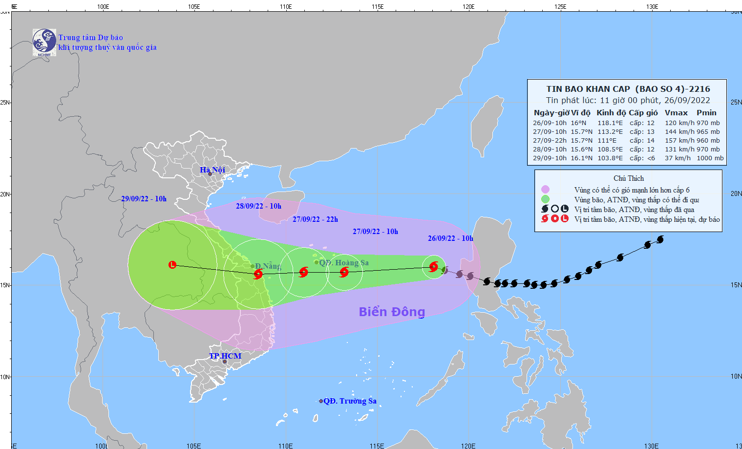
All vessels, sea embankments, aquaculture farming areas and other activities at sea are under the impacts of gales, big waves, cyclones and rising seawater.
Within next 48 to 72 hours, the fourth storm will go westerly at around 20-25 kilometers per hour and may be expected to gradually downgrade into a tropical depression and a low-pressure zone after it enters mid-Central mainland Vietnam.
From September 29, two Central Highlands provinces of Kon Tum and Gia Lai will brace for increasing winds.
Under the impact of the super storm, the entire Central provinces and cities such as Quang Tri, Thua Thien-Hue, Da Nang, Quang Nam, Quang Ngai and Binh Dinh will suffer from heavy rainfalls of 250-400 mm.

