In the next 24- 48 hours, the eighth storm of this year’s hurricane season may be expected to move west at a maximum speed of 20 kilometers an hour, enter the mainland provinces from Thanh Hoa to Quang Binh and turn into a tropical depression and a low-pressure zone in Central Laos.
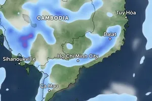
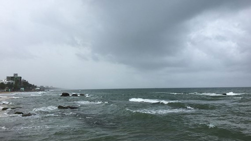
The northern part of the East Sea including the Paracel Islands, the Gulf of Tonkin covering Bach Long Vi Island District, waters from Quang Tri to Quang Ngai including the Con Co Island District, coastal areas from Thai Binh to Ha Tinh, the Spratly Islands along with the southern territorial waters from Binh Thuan to Ca Mau will be hammered by big waves, rough sea, blustery winds and flooding.
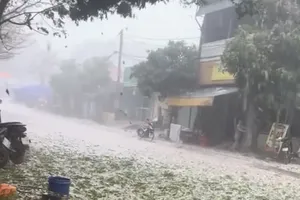
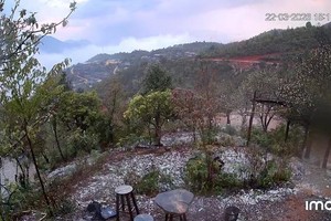
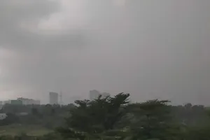
As for the mainland, the north-central provinces from Thanh Hoa to Quang Binh will experience an average rainfall between 150 mm to 350 mm along with the potential for landslides, flash floods in mountainous areas and flooding in low-lying and riverside ones.







)
