 |
Although the weather forecasting agency predicted that there would be no typhoons or tropical depressions in the East Sea in May, in reality, at the beginning of May, a tropical depression appeared.
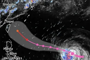
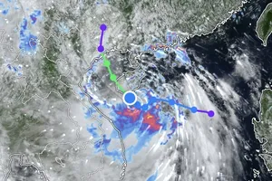
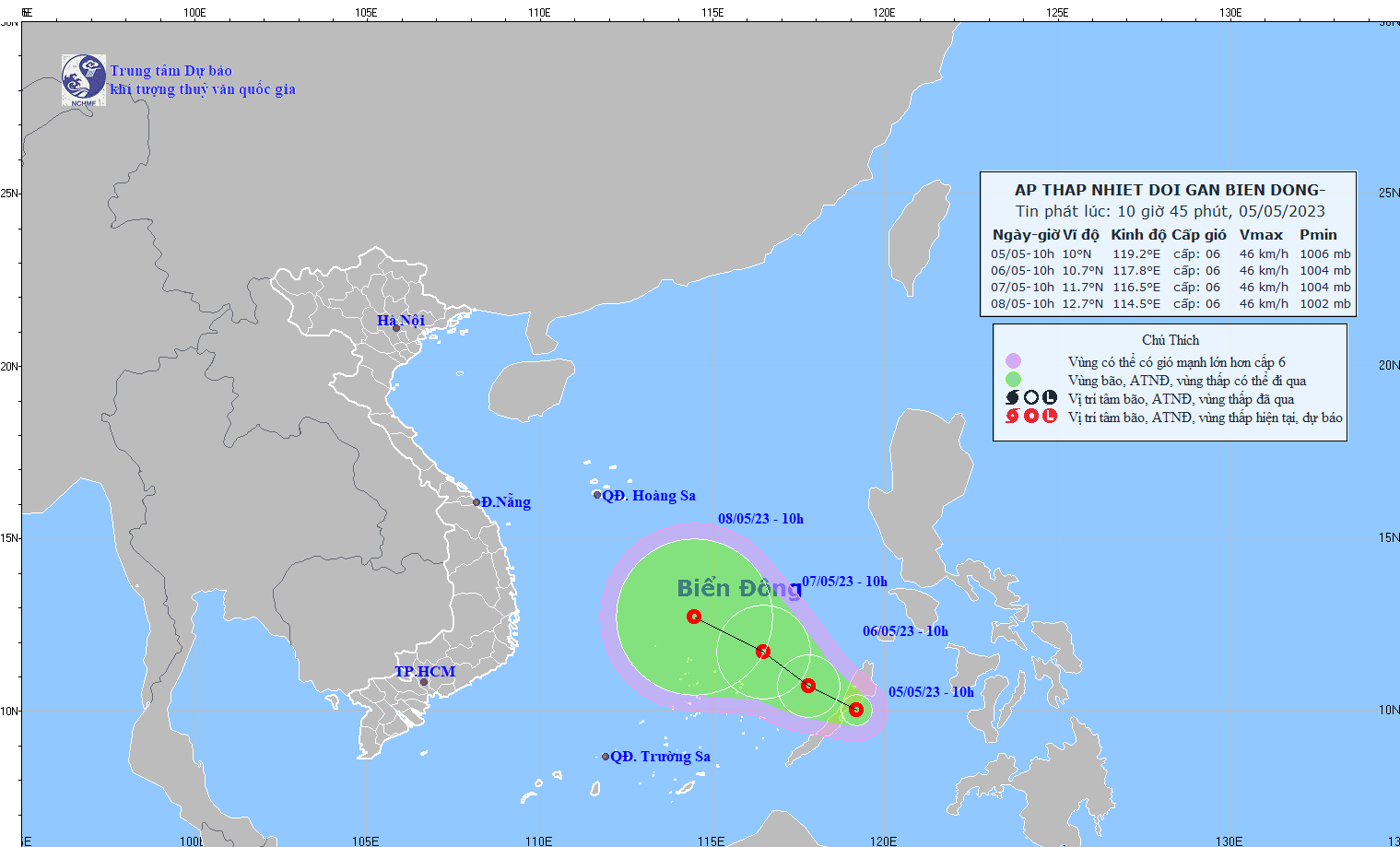
The National Center for Hydro-meteorological Forecasting reported that on the morning of May 5, the low-pressure area in the central region of the Philippines had intensified into a tropical depression.
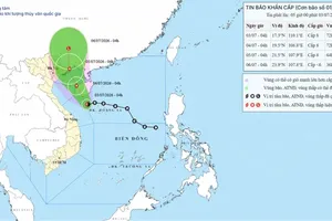
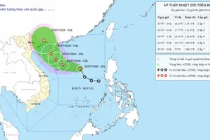
At 10 a.m., the center of the tropical depression was located at around 10 degrees North latitude and 119.2 degrees East longitude over the waters east of Palawan Island (Philippines). The strongest winds in the vicinity of the center of the tropical depression were at a speed of level 6 (39-49km/h) and gusts reaching level 8.
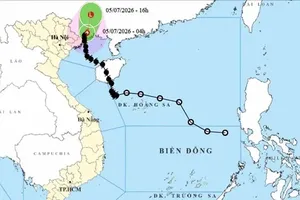
According to the forecast, the tropical depression will be moving in a west-northwest direction at a speed of 5-10km/h. By the morning of May 6, it is expected to have an impact on the Eastern waters of the Central and Southern East Sea.
In the next 48 to 72 hours, the tropical depression will mainly move in a West-Northwest direction, covering about 10km per hour, with little change in intensity.
Strong winds at level 6, gusting at level 8, and rough seas are expected in the Eastern waters of the Central and Southern East Sea.
According to meteorological experts, the circulation ahead of the tropical depression will cause intense heat on the mainland. This is an early occurrence of a tropical cyclone and is unusual compared to recent years.
On the afternoon of May 5, the Standing Office of the National Steering Committee for Natural Disaster Prevention and Control issued Circular No.1, requesting provinces from Quang Binh to Kien Giang to prepare and respond to this tropical depression.