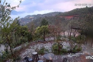
The rains were getting more severe and falling repeatedly over Lao Cai City, Lao Cai Province; particularly Bac Cuong, Nam Cuong and Duyen Hai wards saw 50-80 cm of flooding, causing many cars being submerged in the rains.
The record rainfall of 300 mm made vehicles unable to move through B4A-B4B intersection on the National Highway 4E and damaged many home appliances of 81 households.
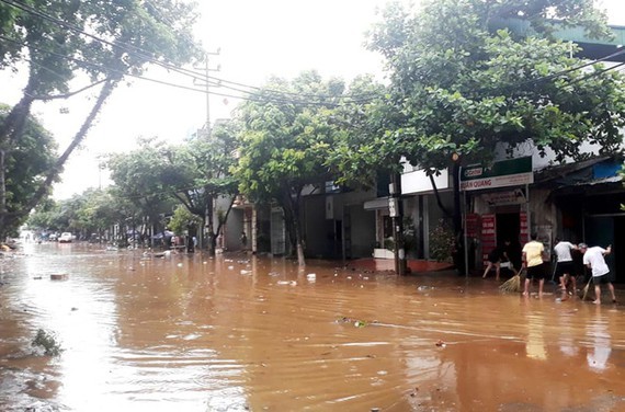
Many inner-city areas of Hanoi were underwater.
The National Center for Hydrology Meteorology Forecasting last night informed that apart from the ongoing tropical low-pressure zone in the East Sea, one more tropical depression has newly formed northeast of Luzon Island of the Philippines.
It is forecast that the system will move the west-northwestward at a speed of 25-30 kilometers an hour, then it is going to turn into a storm affecting almost the weather conditions in the Northern Vietnam and the Paracel Islands with sustained winds of 40-60 kilometers an hour.
Besides that, the coastal provinces from Binh Thuan to Ca Mau will brace for the southwestern monsoon of levels 5-8, big waves of 2-3 meters and rough sea.
By tomorrow afternoon, the tropical depression will be able to head toward the northeastern Hainan Island (China).
Amid the above warning, the National Steering Committee for Natural Disaster Prevention and Control yesterday urged relevant ministries and coastal provinces and cities from Quang Ninh to Ca Mau to carry out plans against the natural disaster and the southwest monsoon.
From July 6 to July 8, risks of flash floods and landslides are warned for the Northern mountainous region.


