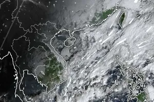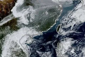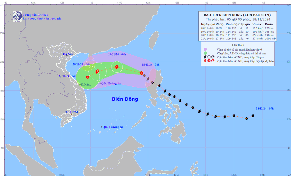
As of 4:00 a.m. on November 18, according to the National Center for Hydro-Meteorological Forecasting, the storm's epicenter was located at approximately 18.0 degrees North latitude and 118.9 degrees East longitude, over the eastern waters of the northern East Sea.
Sustained winds near the storm's center were at a powerful Category of 11-12 (103-133 km/h), with gusts reaching Category 15. The storm was moving in a northwest direction at approximately 25 km/h.
Typhoon Manyi is weakening as it moves northwestward across the northern East Sea. By November 20, it will be a Category 8 storm, located 210 km northwest of the Paracel Islands. By November 2, it will weaken into a tropical depression and then a low-pressure system off the central coast.
As a result of the super typhoon, the eastern section of the northern East Sea is experiencing robust winds of force 8-9, with areas near the storm's center encountering forces of 10-12 and gusts up to force 15. Wave heights range from 3.0-5.0 meters, reaching 5.0-7.0 meters near the storm's center, creating extremely turbulent maritime conditions.
Vessels operating within these hazardous zones face potential exposure to thunderstorms, tornadoes, powerful winds, and high waves.
According to the National Center for Hydro-Meteorological Forecasting, a cold air mass is currently descending southward today (November 18). This cold front will initially impact parts of the northeastern region before extending its influence to other areas of the eastern North and North Central regions, as well as some areas in the northwestern and central of the Central region. Northeastern winds inland will reach forces 2-3, intensifying to forces 3-4 in coastal areas.
Due to the interaction between upper-level easterly wind disturbances and the cold air mass, the northern and central regions will experience rainfall and scattered thunderstorms from November 18-19, with localized heavy precipitation. These thunderstorms may be accompanied by tornadoes, lightning, and strong wind gusts.
The combination of thunderstorms, tornadoes, lightning, and powerful gusts poses potential risks to agricultural production, potentially causing damage to trees, buildings, transportation infrastructure, and other facilities.
Localized heavy rainfall may lead to flooding in low-lying areas and potentially trigger flash floods in small rivers and streams, as well as landslides on steep terrain. Strong winds and high waves at sea may significantly impact maritime vessels and other nautical activities.
The daily forecast for the country is as follows:
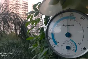
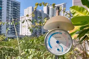
- Hanoi and northern Vietnam will experience mostly cloudy skies with occasional light rain and chilly temperatures. Northeast winds will prevail, with stronger winds along the coast. Temperatures will range from 18-22°C, with highs reaching 26-30°C.
- Central Vietnam, including the Central Highlands, will witness cloudy skies with rain showers and thunderstorms, especially in the north. Some areas may see heavy rainfall. Temperatures will range from 19-23°C, with highs reaching 26-31°C.
- South Vietnam will see cloudy skies with occasional rain showers and thunderstorms, especially in the evenings. There will be East to Northeast winds at level 2-3. Temperatures will range from 23-26°C, with highs reaching 31-34°C.
