The cold surge has already affected most northern mountainous provinces and parts of the Northeastern region. At Bach Long Vi station, northeasterly winds reached level 5, occasionally level 6, with gusts up to level 7.
Over the next 24–48 hours, the cold front is expected to spread across the remainder of the North, the North Central region and parts of the Central region before advancing further south into the South-Central provinces.
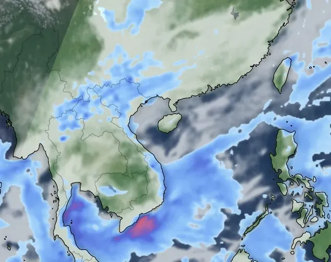
On land, northeasterly winds will reach level 3–4, increasing to level 4–5 along the coast, with some areas reaching level 6 and gusting to level 7. Rain and colder weather are forecast for the Northern region, Thanh Hoa, and Nghe An.
Severe cold is forecast for the Northern midlands and mountains, with extreme cold in high-elevation areas. Minimum temperatures will range from 12–15 degrees Celsius in the Northern Delta and North Central region, 9–12 degrees Celsius in the midlands and mountains, and below 5 degrees Celsius in high mountainous areas, around 2 degrees Celsius lower than forecast on November 17.
On November 18-19, the capital city of Hanoi will experience showers and very cold weather, with lows of 12–14 degrees Celsius, about 1 degree Celsius below previous projections.

The meteorological agency also notes that heavy rain will persist from Ha Tinh to Khanh Hoa provinces as the strengthened cold air interacts with upper-level easterly winds. Cold conditions in the Northern areas may affect livestock and crop growth.
The Central provinces and cities face risks of flooding in low-lying areas, flash floods on small rivers and streams, and landslides on steep terrain. Meanwhile, urban and industrial areas may experience localized flooding during periods of intense rainfall.
Over the seas, strong winds, frequent gusts and high waves are expected to continue disrupting marine transport, fishing operations and offshore activities.


