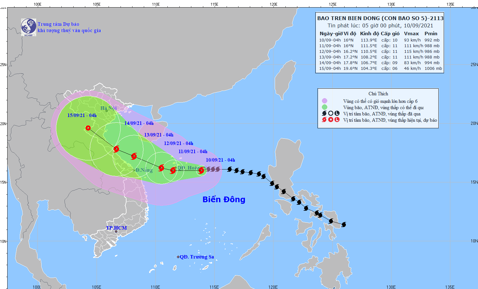
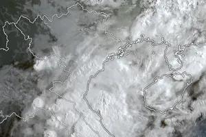
At 7 a.m. today, the eye of Conson was centered at around 15.9 degrees north latitude and 113.4 degrees east longitude, at about 170 kilometers far from the east southeast of the Paracel Islands.
The dangerous system is forecast to move westward at a maximum speed of 15 kilometers an hour, likely to intensify hours later.

All vessels operating in the dangerous areas should brace for high risks of powerful winds, big waves and cyclones.
It is expected that the tropical storm would be about 220 kilometers far from the coast off Thua Thien- Hue Province to Da Nang City in the Central region, bringing torrential rains and whirlwinds in the mainland of provinces from Thanh Hoa to Quang Ngai.
Storm Conson will trigger downpours, whirlwinds, rough sea and gusty winds in the North and Central East Sea including the Paracel Islands and territorial waters from Quang Tri to Quang Ngai including Ly Son and Con Co island districts from tomorrow.
In the next two days, provinces from Quang Tri to Quang Ngai, from Quang Binh to Thanh Hoa will continue to see heavy rainfalls of 200- 350 mm.


