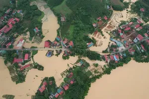
The Central Regional Center for Hydrology and Meteorology issued an emergency flood warning for the Vu Gia and Thu Bon rivers, as well as a flood alert for the Tam Ky River, on the evening of October 27, predicting that water levels in many areas could surpass the historic flood peaks recorded in 2007.
Water levels across rivers in Da Nang City continued to rise. At 7 p.m., the water level of the Vu Gia River at Hoi Khach exceeded the Level 3 alert by 0.97 meters, and at Ai Nghia by 1.56 meters. On the Thu Bon River, levels at Nong Son were 3.06 meters above Level 3 alert, at Giao Thuy 0.86 meters above, at Cau Lau 0.73 meters above, and at Hoi An 0.66 meters above. Meanwhile, the Han River at Cam Le remained 0.44 meters below Level 2 alert, and the Tam Ky River at Tam Ky stood 0.1 meters above Level 1.
The Central Regional Center for Hydrology and Meteorology forecast that within the next 6 to 12 hours, floodwaters on the Vu Gia–Thu Bon river system would rise further above the Level 3 alert. The flood crest on the Vu Gia River at Ai Nghia is expected to exceed Level 3 by 1.3 meters, 0.04 meters higher than the record flood of 2007 and 0.29 meters higher than in 2017. At Cam Le, water levels are projected to reach Level 3 alert.
On the Thu Bon River, flood levels at Giao Thuy are predicted to rise 1.2 meters above Level 3—0.4 meters higher than in 2007 and 0.5 meters higher than in 2017. At Cau Lau, levels may reach 1.2 meters above Level 3, surpassing the 2017 levels by 0.05 meters, and at Hoi An, levels are 1.1 meters above Level 3.
Over the next 12 to 24 hours, floodwaters in the lower Vu Gia–Thu Bon basin are expected to recede slowly but remain at or above Level 3 alert, while the Tam Ky River will fluctuate between Level 1 and Level 2.
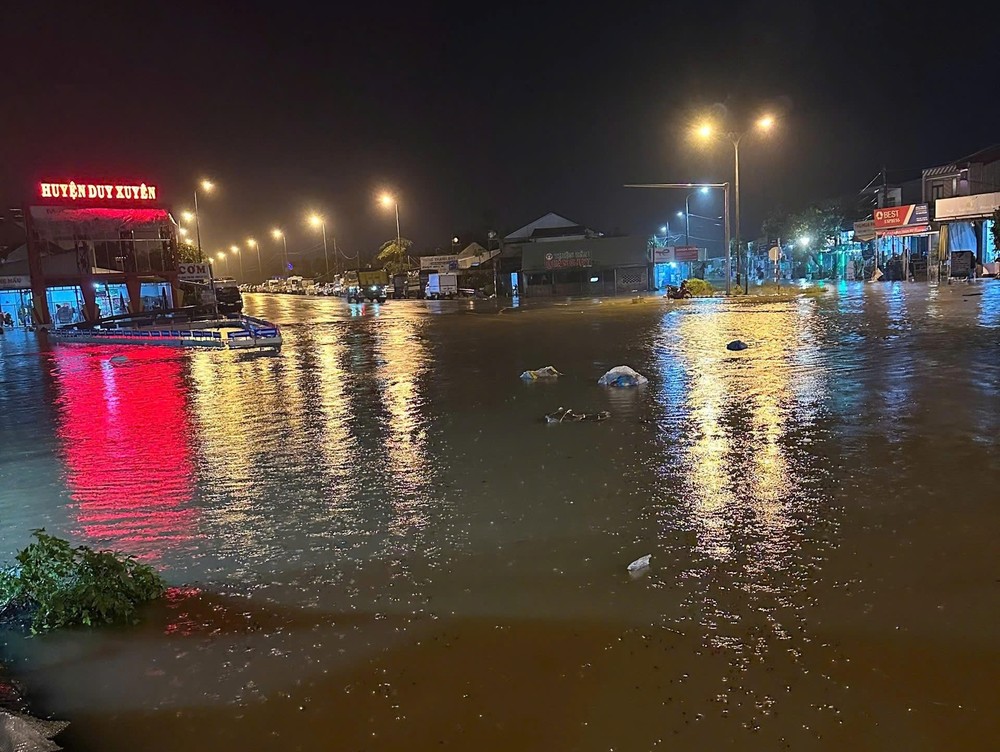
The Central Regional Center for Hydrology and Meteorology warned of widespread and prolonged inundation in low-lying riverine areas and urban flooding, particularly in the communes of Que Phuoc, Nong Son, Duy Xuyen, Thu Bon, Xuan Phu, Thuong Duc, Ha Nha, Vu Gia, Dai Loc, Go Noi, Hoi An, and Nam Phuoc.
As of 8 p.m. on October 27, major hydropower plants in Da Nang were continuing spillway operations, including A Vuong (1,001 cubic meters per second), Dak Mi 4 (2,204 cubic meters per second), Song Bung 4 (1,270 cubic meters per second), and Song Tranh 2 (1,634 cubic meters per second).
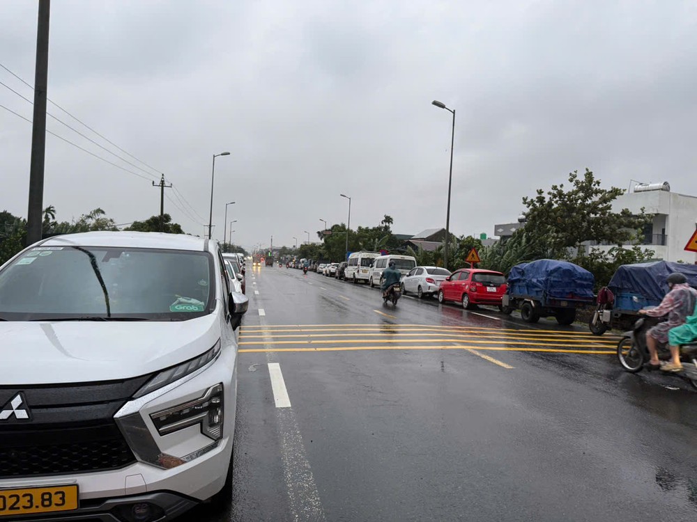
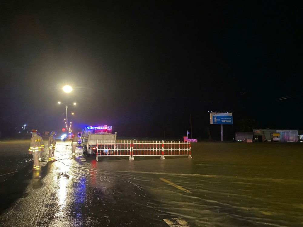
Earlier that evening, floodwaters began overtopping National Highway 1A in sections passing through Chien Dan, Thang Dien, and Xuan Phu communes of Da Nang City. Colonel Phan Thanh Hong, Head of the Da Nang City Traffic Police Division, said that officers had been deployed to regulate traffic and ensure safety along the route.

In addition to on-site checkpoints, multiple patrol teams were dispatched to critical sections to handle emergencies. At around 8:15 p.m., officers from the Thang Binh Traffic Police Station discovered a mother and her child stranded in floodwaters in Thang Dien Commune. The child was suffering from a high fever and required urgent medical attention, but the road was deeply submerged and impassable. Acting swiftly, the officers used a specialized rescue vehicle to safely transport the mother and child through the flooded area to the hospital, ensuring timely treatment for the child.


