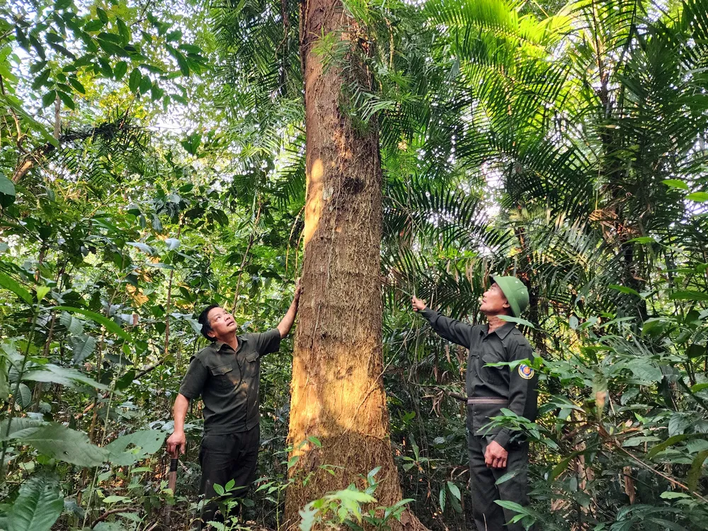
By deploying advanced softwares and high-precision equipment, the department successfully detected hundreds of forest disturbances and identified thousands of potential forest fire incidents.

After the merger, Quang Ngai Province has a large forest area, so local authorities face many difficulties in forest management.
Out of a total area exceeding 1.06 million hectares, protective forests account for over 308,700 hectares, special-use forests span more than 93,200 hectares, and production forests cover upwards of 663,300 hectares. This figure does not include planted forests that have yet to mature into full forests, as well as various other vacant land areas.
Deputy Head Nguyen Khanh Ngoc of the Quang Ngai Provincial Forest Protection Department stated that following the merger of administrative units, the province faced numerous challenges in forest management. These challenges arose from the vast forest area, intricate terrain, a reduction in staff, and varying climatic conditions between Quang Ngai Province and the former Kon Tum Province. Consequently, the initial phases of management, forecasting, and forest fire warnings were fraught with difficulties.
In 2025, Quang Ngai Province has recorded two forest fires. One occurred in Tu Mo Rong Commune, affecting an area of 16.35 hectares of planted forest. The other fire took place in Dak Ro Wa Commune, impacting approximately 1.6 hectares of vegetation. Fortunately, neither fire resulted in damage to the forest.
Currently, the Forest Protection Department is conducting trials with five thermal and smoke sensors in high-risk fire zones across the province. These devices can monitor areas spanning several hundred hectares. In parallel, 17 flycams have been deployed to assist with forest patrols, resource monitoring, and forest fire command operations, according to Deputy Head Nguyen Khanh Ngoc.
On a daily basis, the Quang Ngai Forest Protection Department tracks forest resource changes and implements fire prevention measures using alert systems provided by the Forestry Department, Forest Protection Division, and FMS Quang Ngai.
The agency also utilizes advanced tools including QGIS, SMART software, high-resolution remote sensing imagery, GPS locators, and flycams to detect and assess potential fire hotspots. If abnormal signs are observed, civil servants on duty immediately report the issue to their superiors and share the information via Zalo for verification and response coordination. In the event of a fire, firefighting personnel and equipment are swiftly mobilized to contain the blaze and minimize losses.
Following the recent merger of administrative units, the Quang Ngai Provincial Forest Protection Department has expanded its adoption of scientific and technological solutions. Through the integration of precise software and machinery, the agency has identified hundreds of forest fluctuation zones and thousands of suspected fire points. These innovations have contributed to a noticeable reduction in fire incidents and forest damage over the years, while steadily improving forest coverage across the province.


