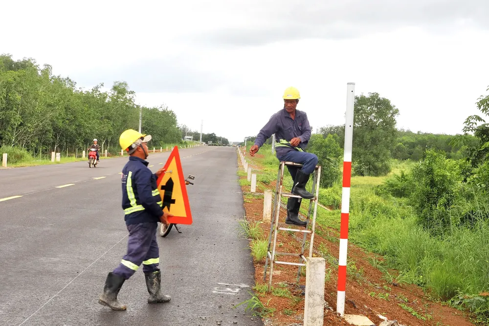
After July 1, 2025, Binh Duong was merged into Ho Chi Minh City, expanding the development space and forming a new mega-urban area in the Southern Key Economic Region. Within this broader urban landscape, the Ho Chi Minh Highway—a vital North–South arterial route— officially passes through the city, beginning in Tru Van Tho Commune and ending at the Saigon River.
The Ho Chi Minh Highway project, section from Chon Thanh to Duc Hoa, has a total length of more than 72 kilometers and an investment of nearly VND2.3 trillion (US$87.29 million). The route traverses three key localities including Dong Nai, Ho Chi Minh City, and Tay Ninh.
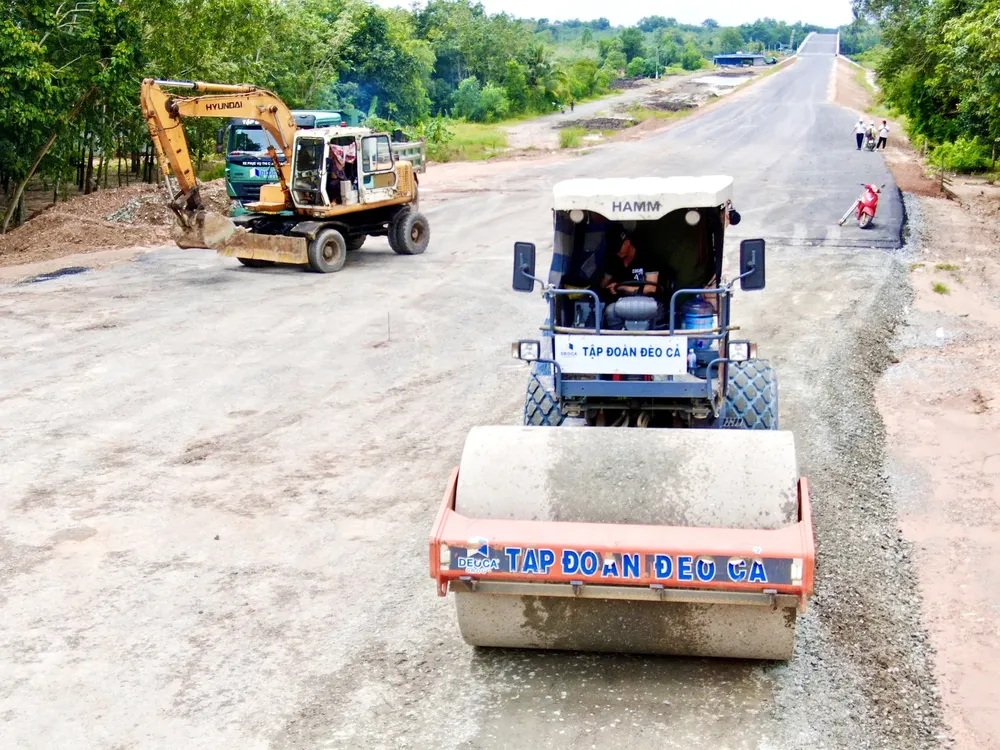
The XL-01 construction package, covering a 31.15-kilometer stretch through Ho Chi Minh City, includes six bridges with a total construction cost of over VND680 billion, executed by Deo Ca Group. Among these, Thanh An Bridge spanning over 600 meters across the Saigon River is the project’s largest component.
Contractors are currently mobilizing maximum manpower and machinery, working extended shifts to ensure the project’s timely completion by the end of 2025. Once operational, the new route will help ease congestion on National Highways 13 and 22, while creating a vital industrial and logistics corridor linking the Southeast and Southwest regions.


